
Projects

Services


WHOM WE WORK WITH
Explore our diverse clientele. We've delivered exceptional solutions and services across a wide range of projects, ensuring client satisfaction and successful outcomes. With our expertise and dedication, we consistently meet and exceed our clients' expectations.
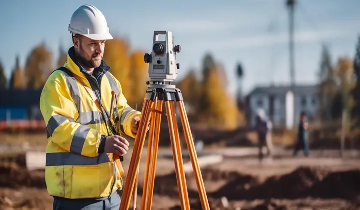


INDUSTRIES


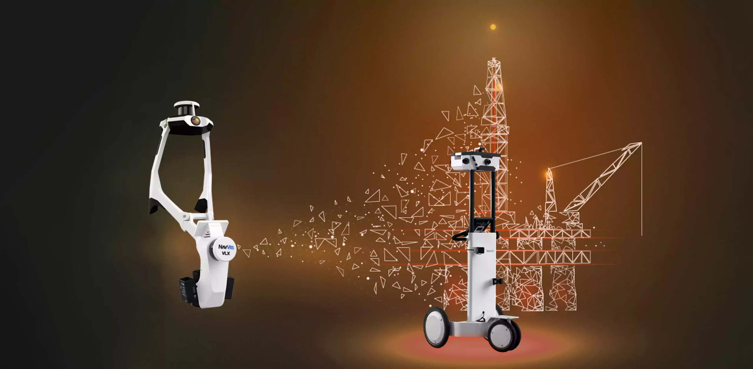
Digital SOLUTIONS
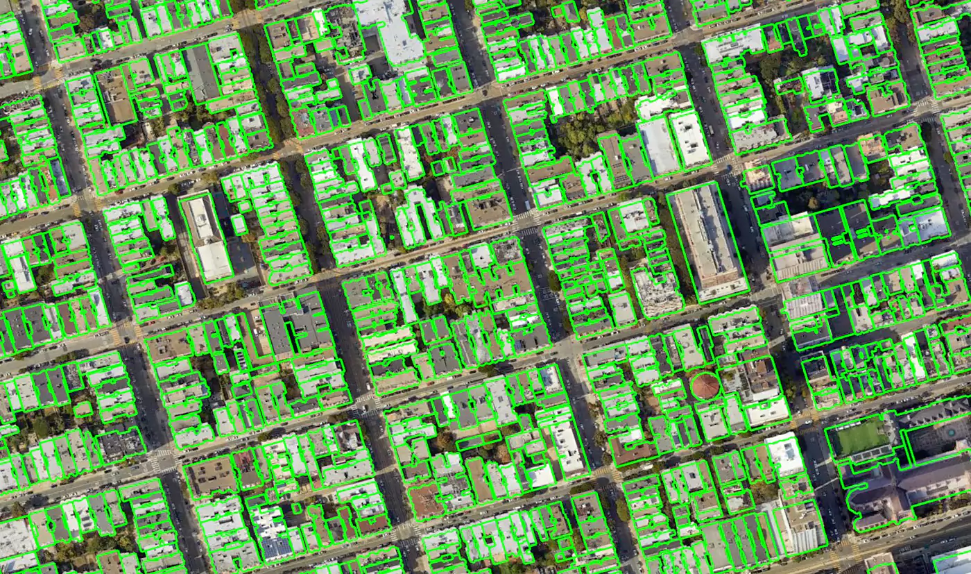
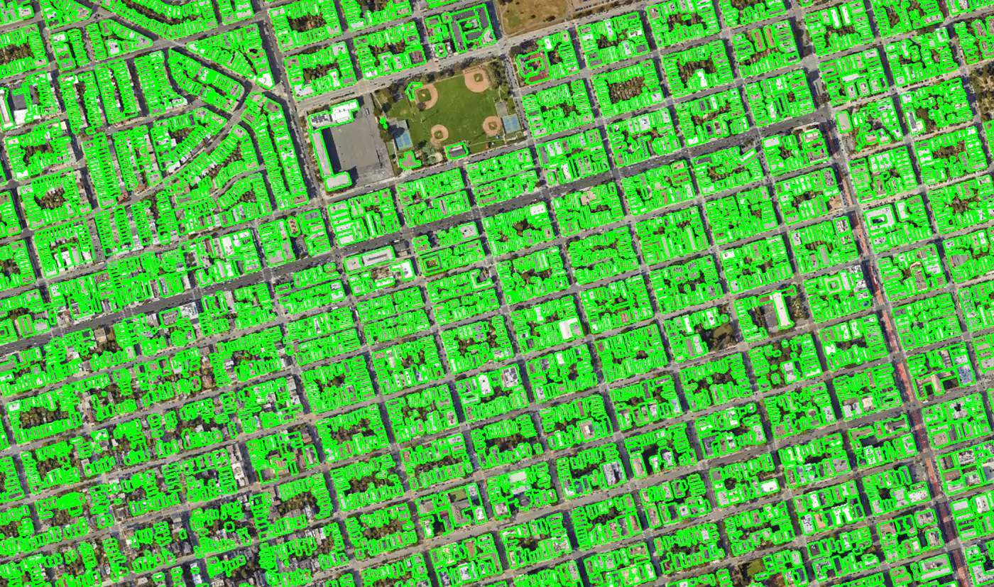
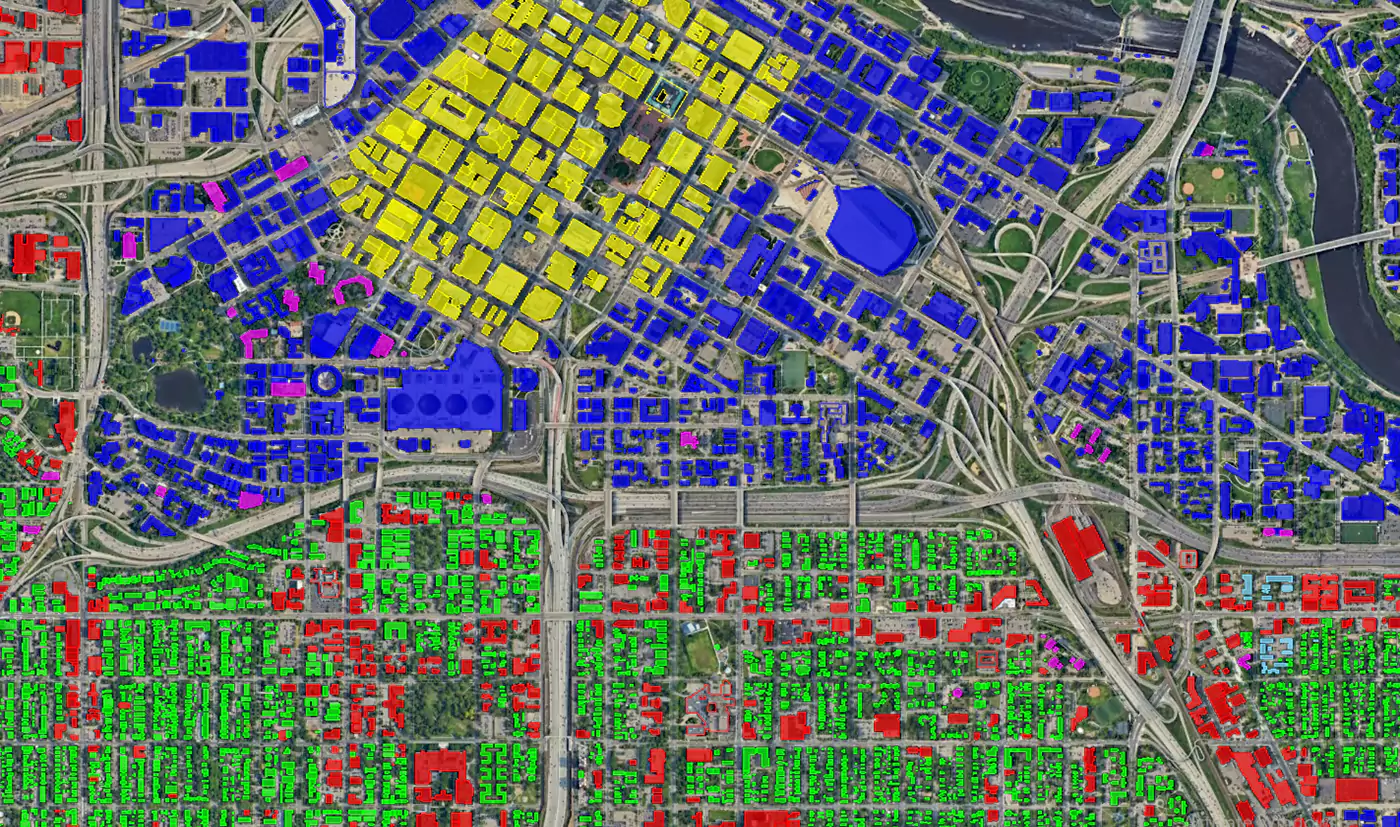
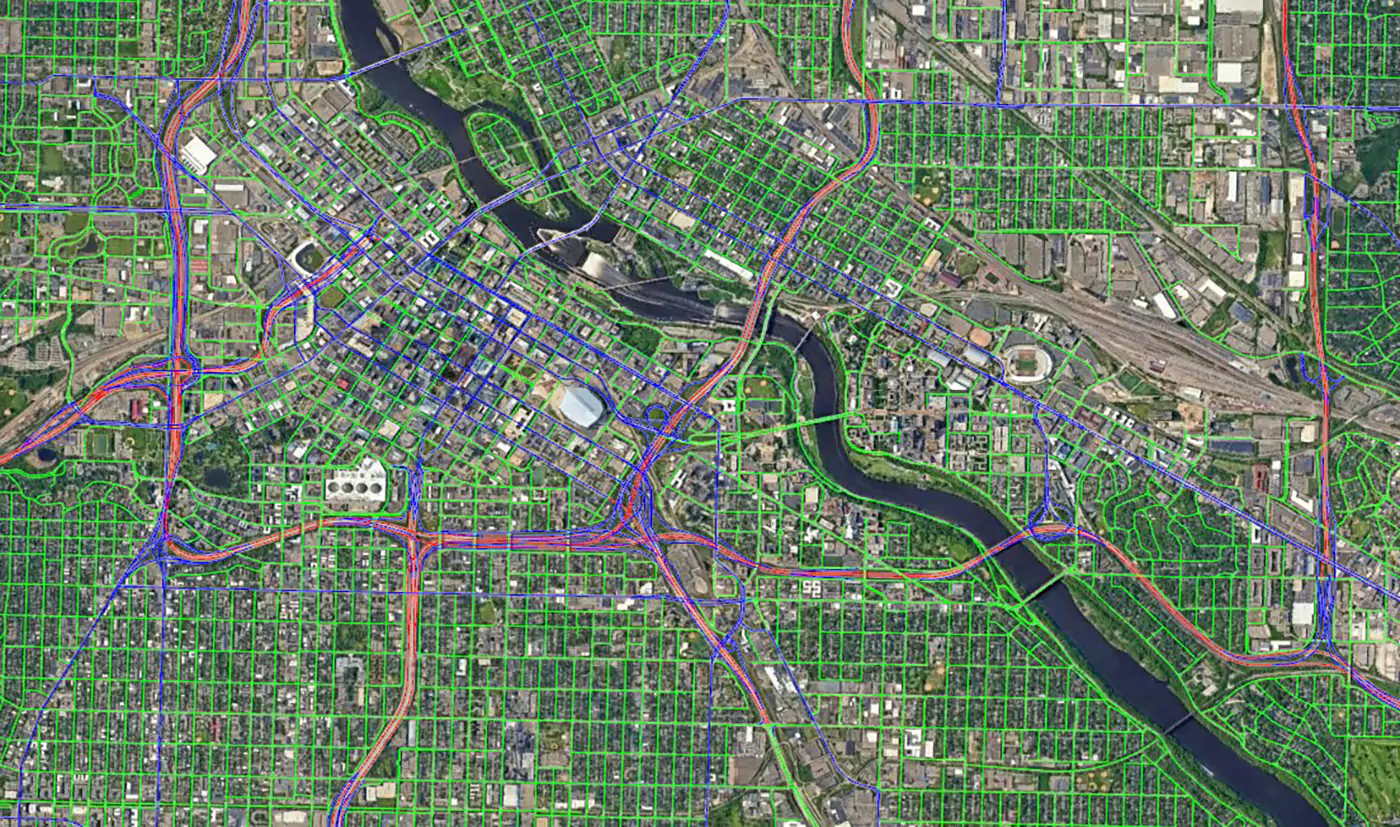
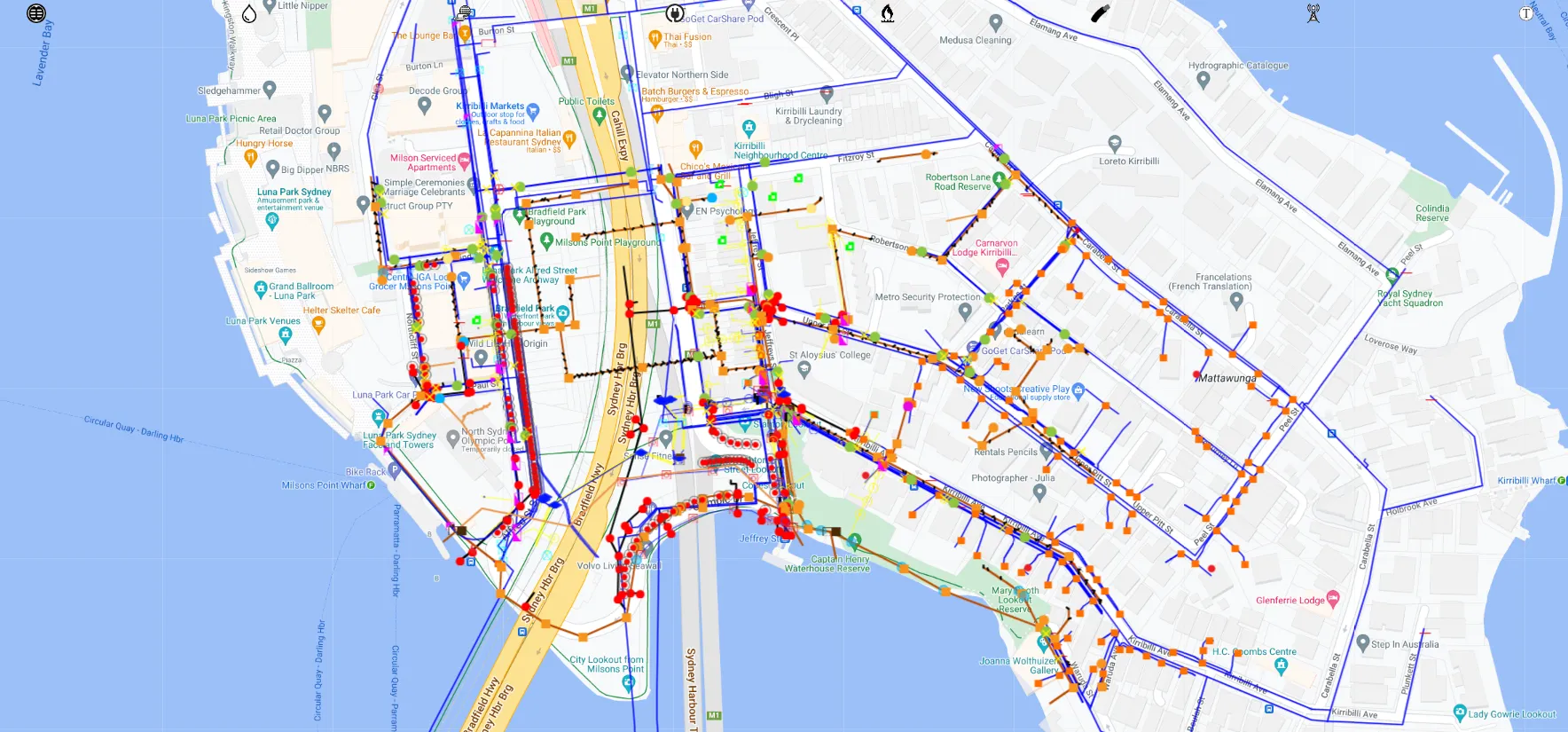
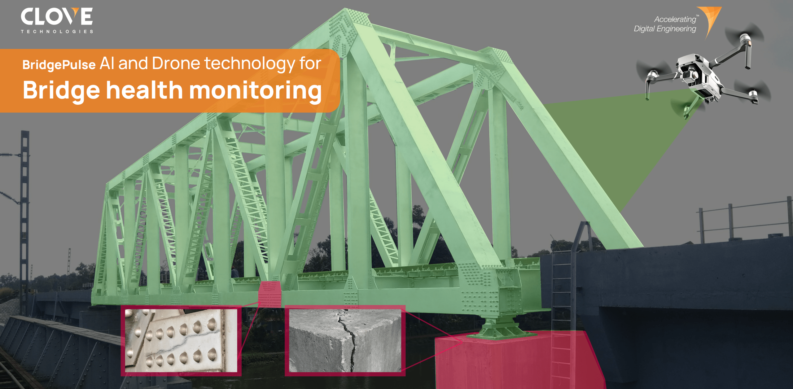
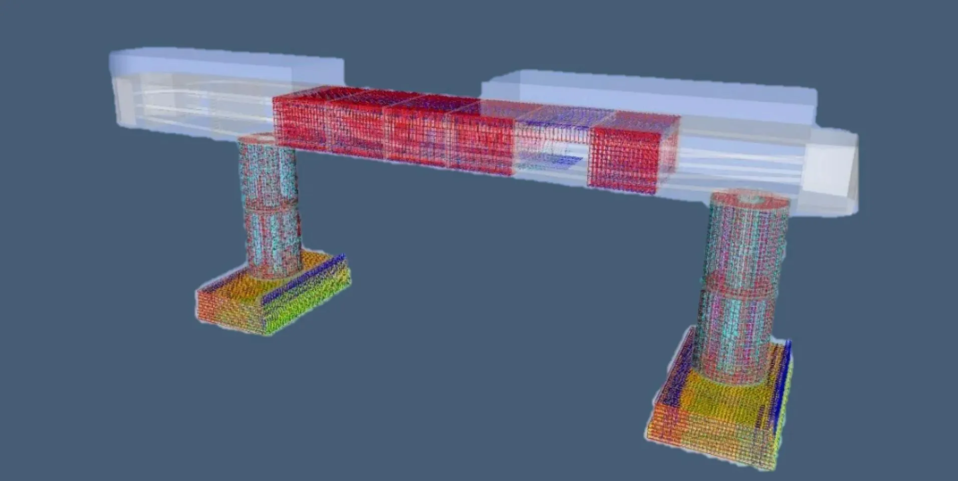
BridgePulse – AI and Drone technology for bridge health monitoring

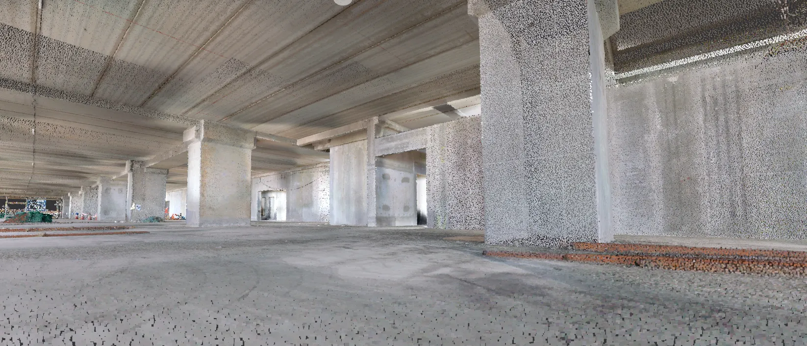
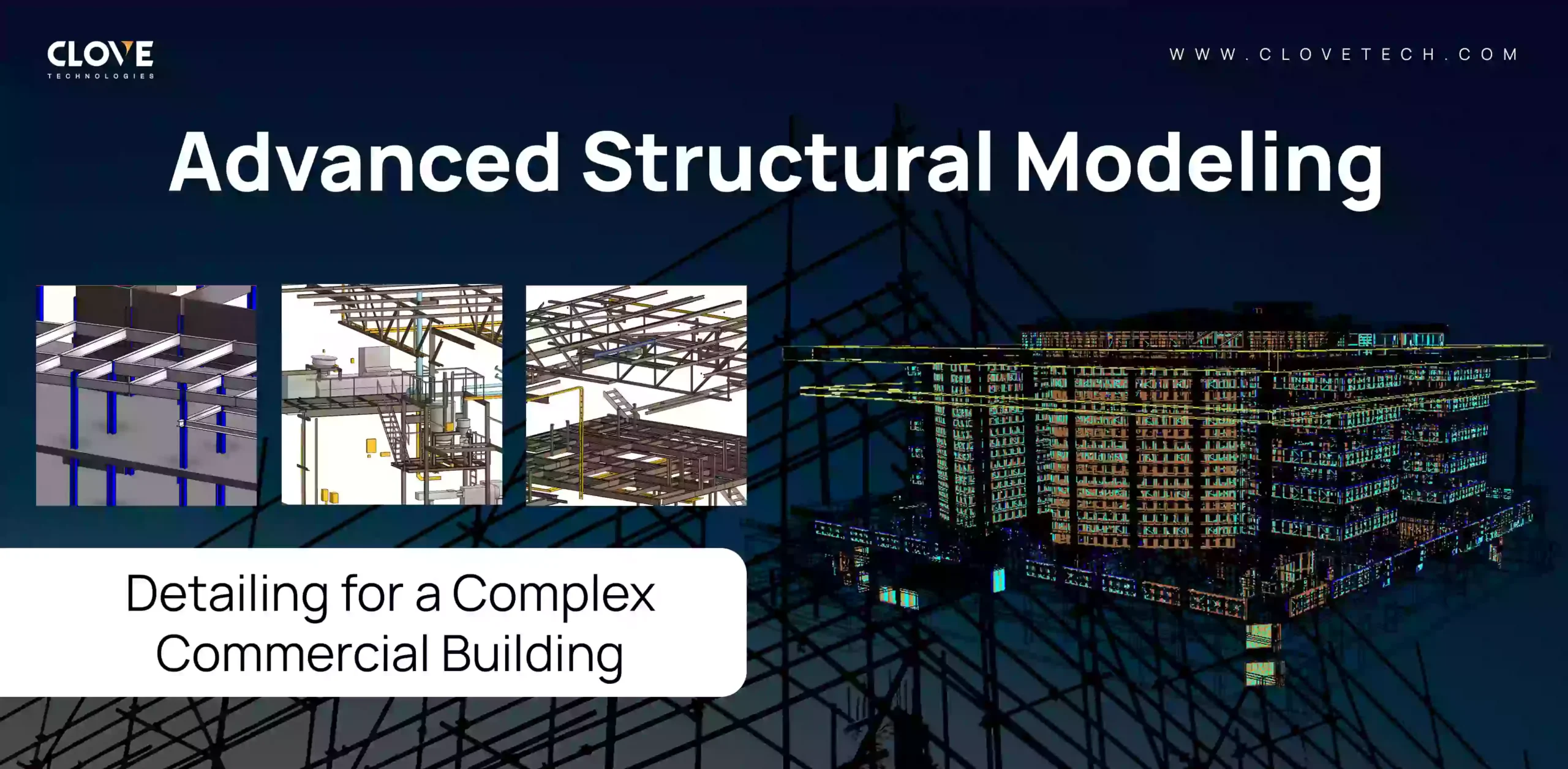
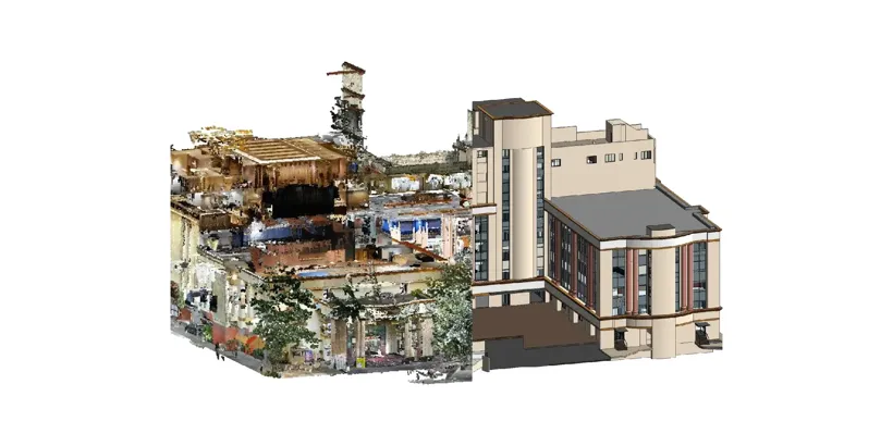
Digital Built
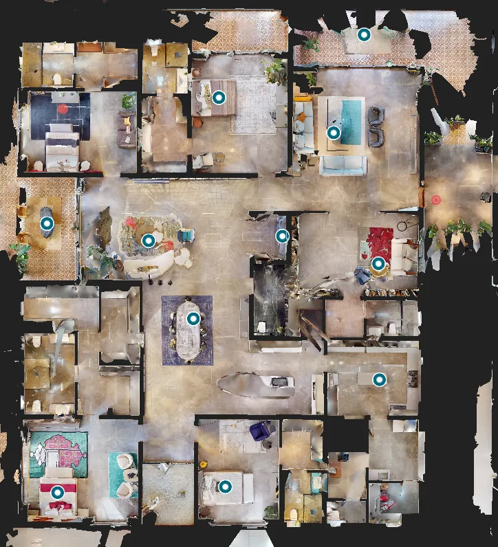
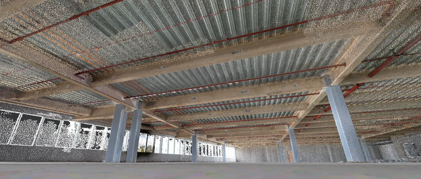
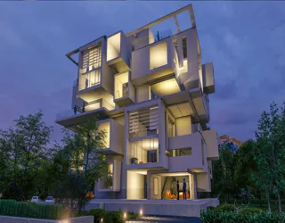
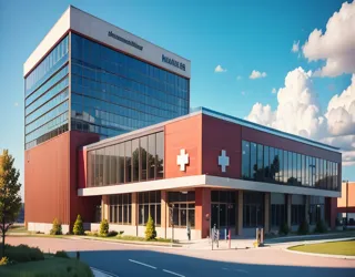
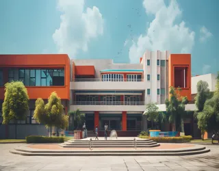
Commercial Building
Digital Built
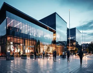
Commercial Building
France, Europe.
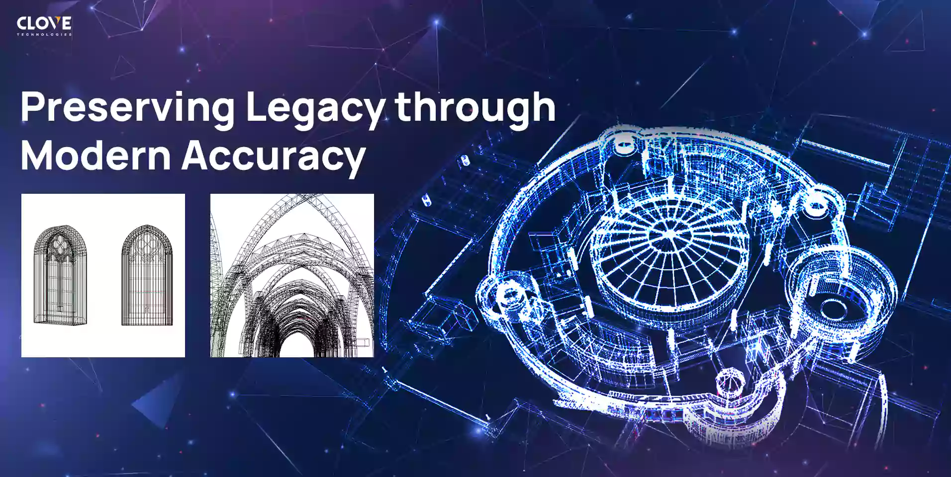
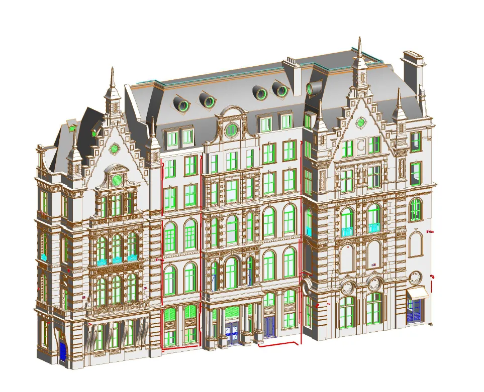
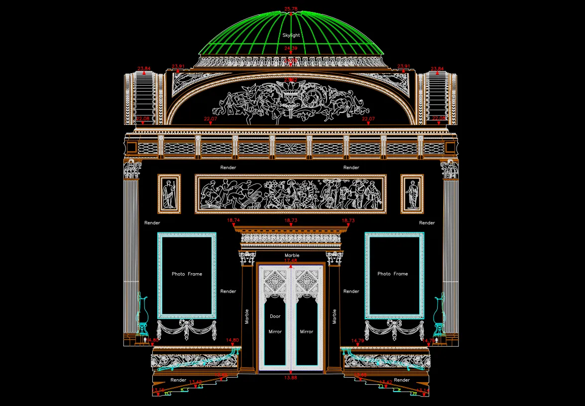
Digital Built
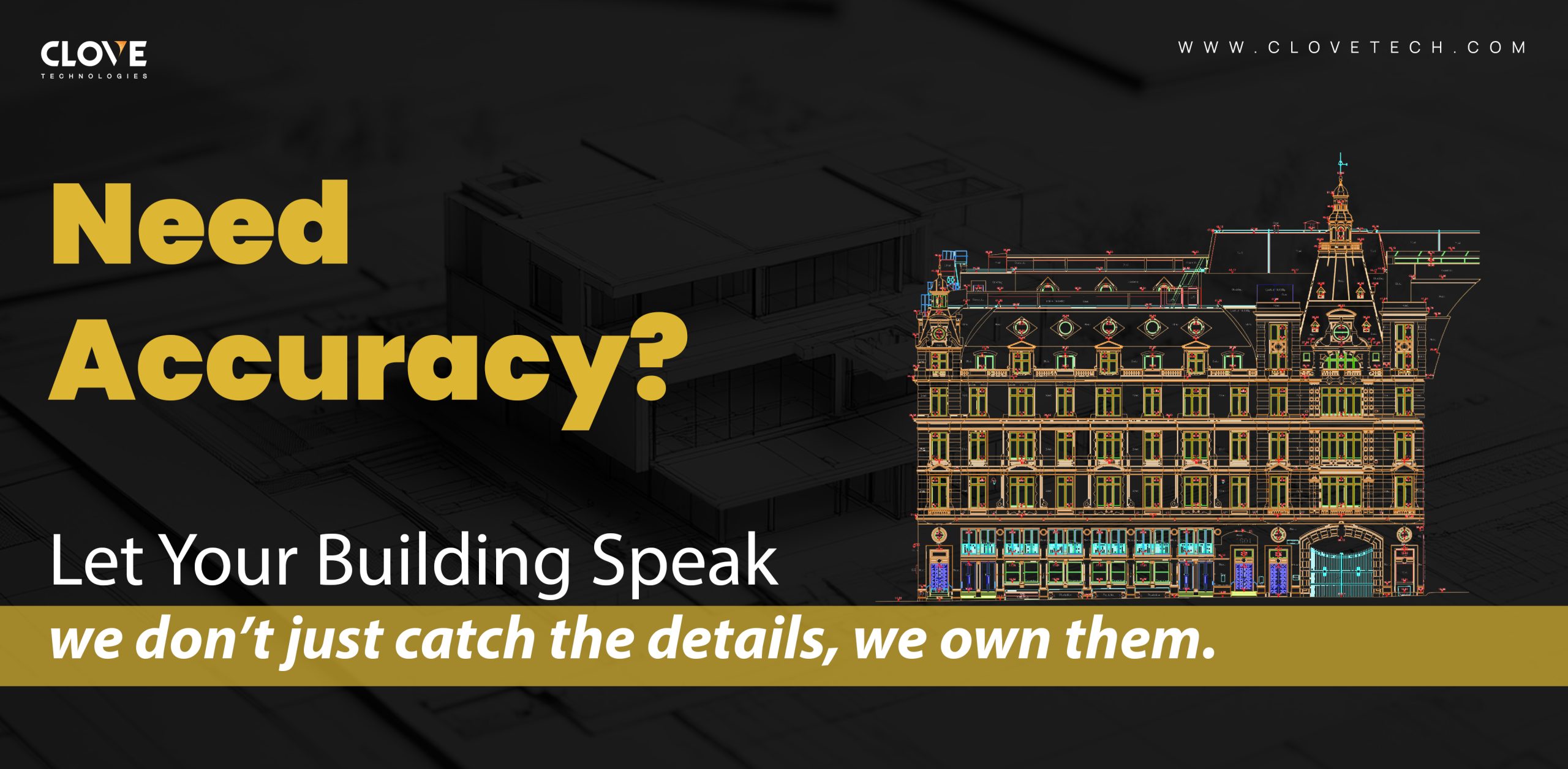
Historical Building
France, Europe.
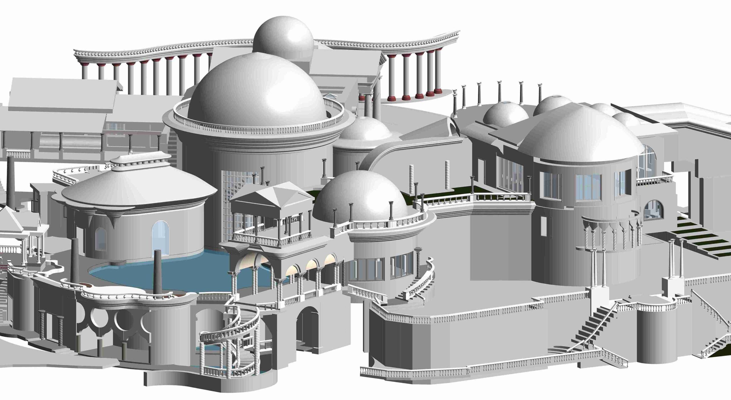
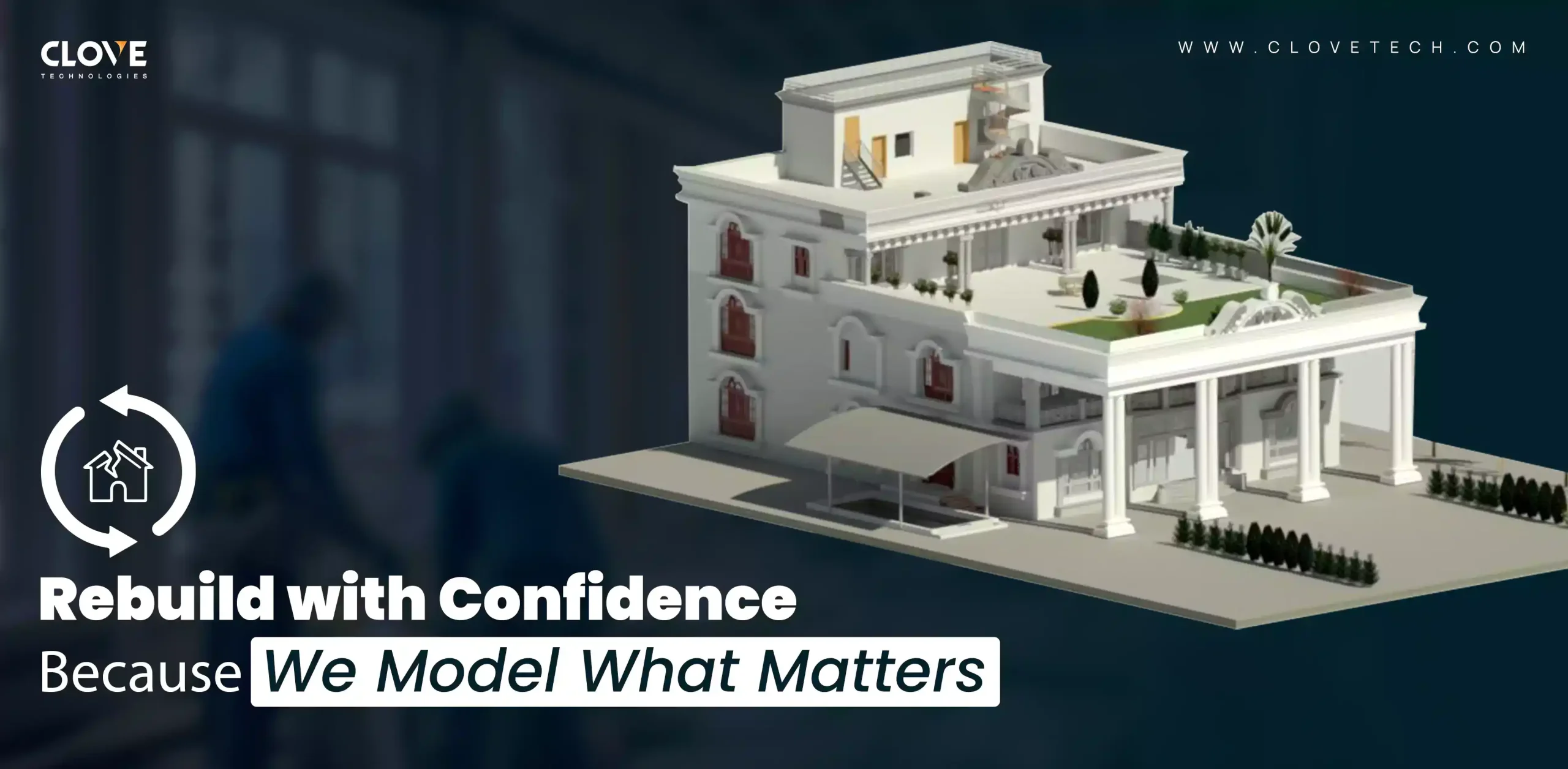
Digital Reality
Natyakala mandir
Mumbai, India.
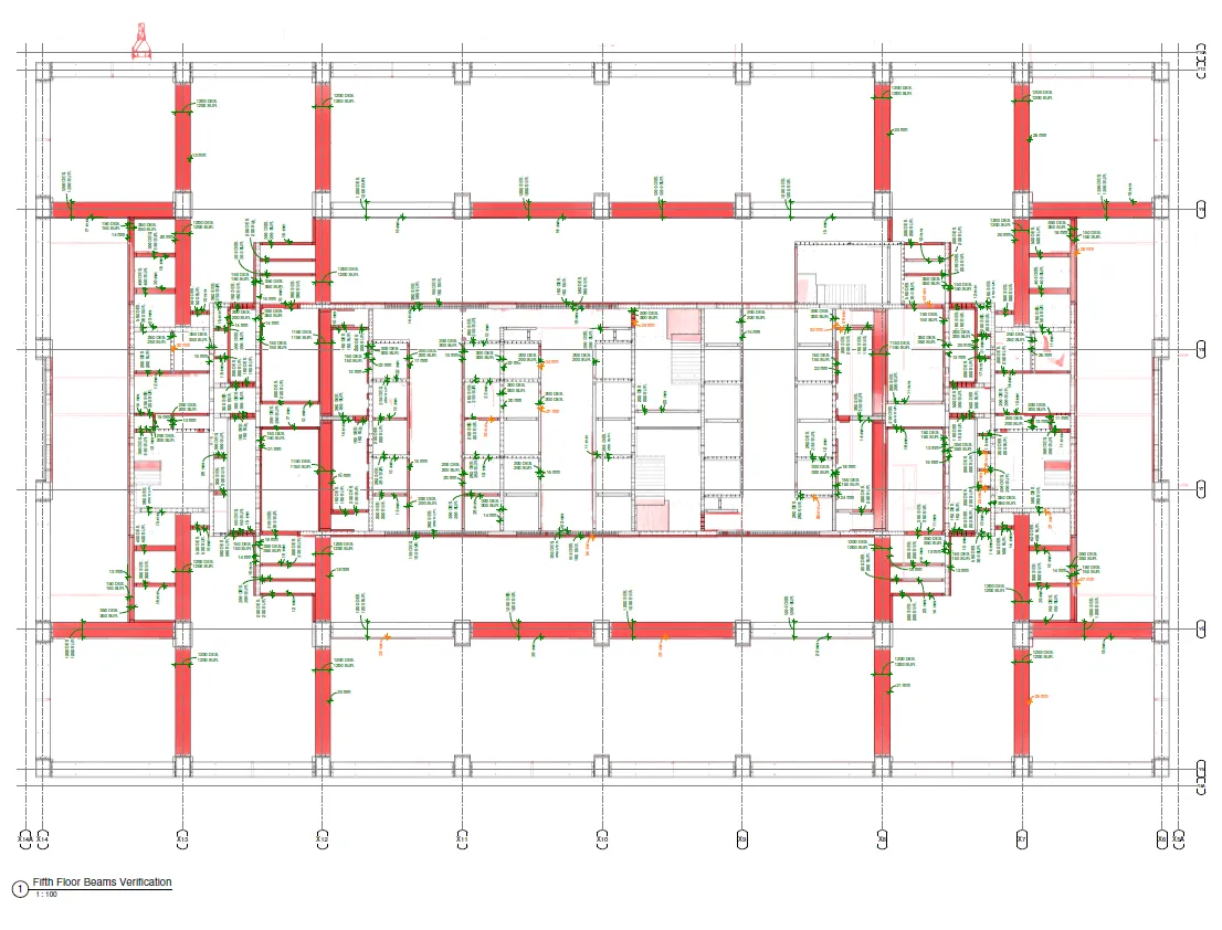
Digital Construction
Bar bending schedule (BBS)
Mumbai, India.
Why Choose us?
Clove is a reliable GeoBIM partner that operates with integrity, transparency and punctuality.
Since 2004, Clove Technologies has grown into a 650+ strong team, serving clients across the USA, Europe, Australia, the Nordics, India, the UK, and the UAE. Recognized for our consistent innovation, we've earned accolades like the Excellence Award from the Institute of Economic Studies and were named one of the 25 Most Promising GIS Providers in APAC by CIO Outlook Magazine.
Years of experience
Satisfied clients
Certified full-time professionals
Successfully implemented projects
Countries covered
MEET THE TEAM
Our company's continued success is fueled by the great competence and unwavering passion of our team, which inspires us to pursue new goals. Our accomplishments are largely due to their combined dedication and skill set.
KKVN Raju (Sharath)
Managing Director & CEO
T S Varma
Director - Sales
Vinay Kumar Penmetsa
Director - Administration
Siddarth Kamasani
Chief Operating Officer, Head-Innovations
Vijay Kumar Jayananda
Chief Business Officer
Jyotheeswar Reddy
Head - Technology
Ravi Kumar Pennada
Head - Geomatics
Srinivas Vanka
Head - Digital Construction
Ganga Raju Doddi
Division Manager - Client Engagement
Vijaya Gandhi Mavuru
Division Manager - Client Engagement
Blogs
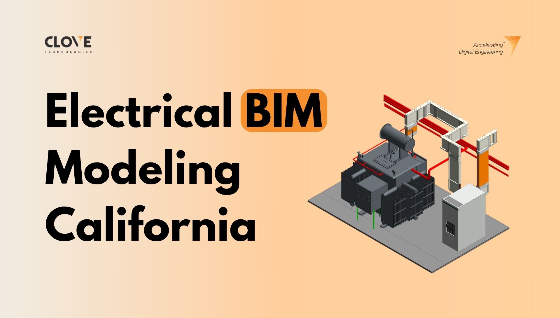
Electrical BIM modeling in California for Modern AEC Projects
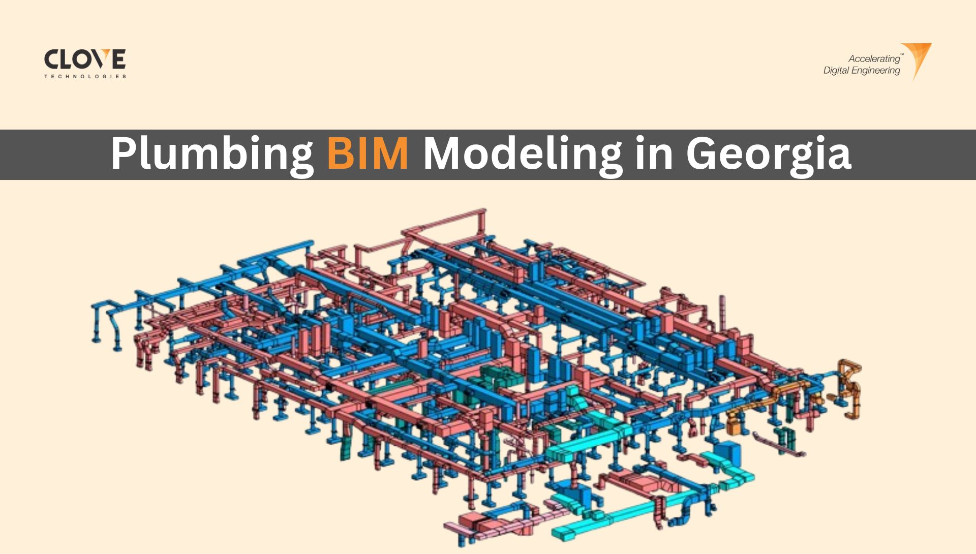
Why plumbing BIM modeling in Georgia is critical for AEC success
Better builds, tighter schedules – The BIM edge in U.S. construction
As-built BIM made easy with top BIM experts
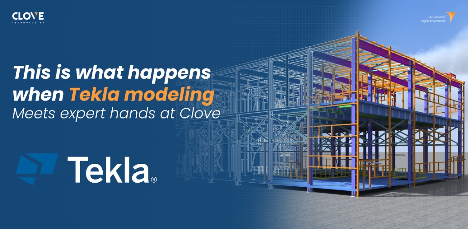
Think tekla is powerful? Wait until you see what Clove builds with it.
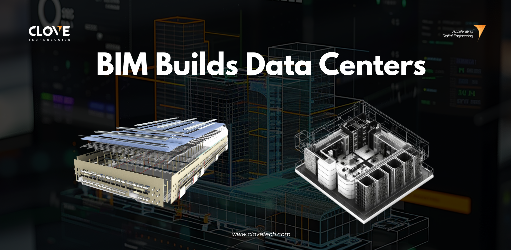
BIM Optimize Data Centers

Better Renovation Projects Begin with BIM Precision
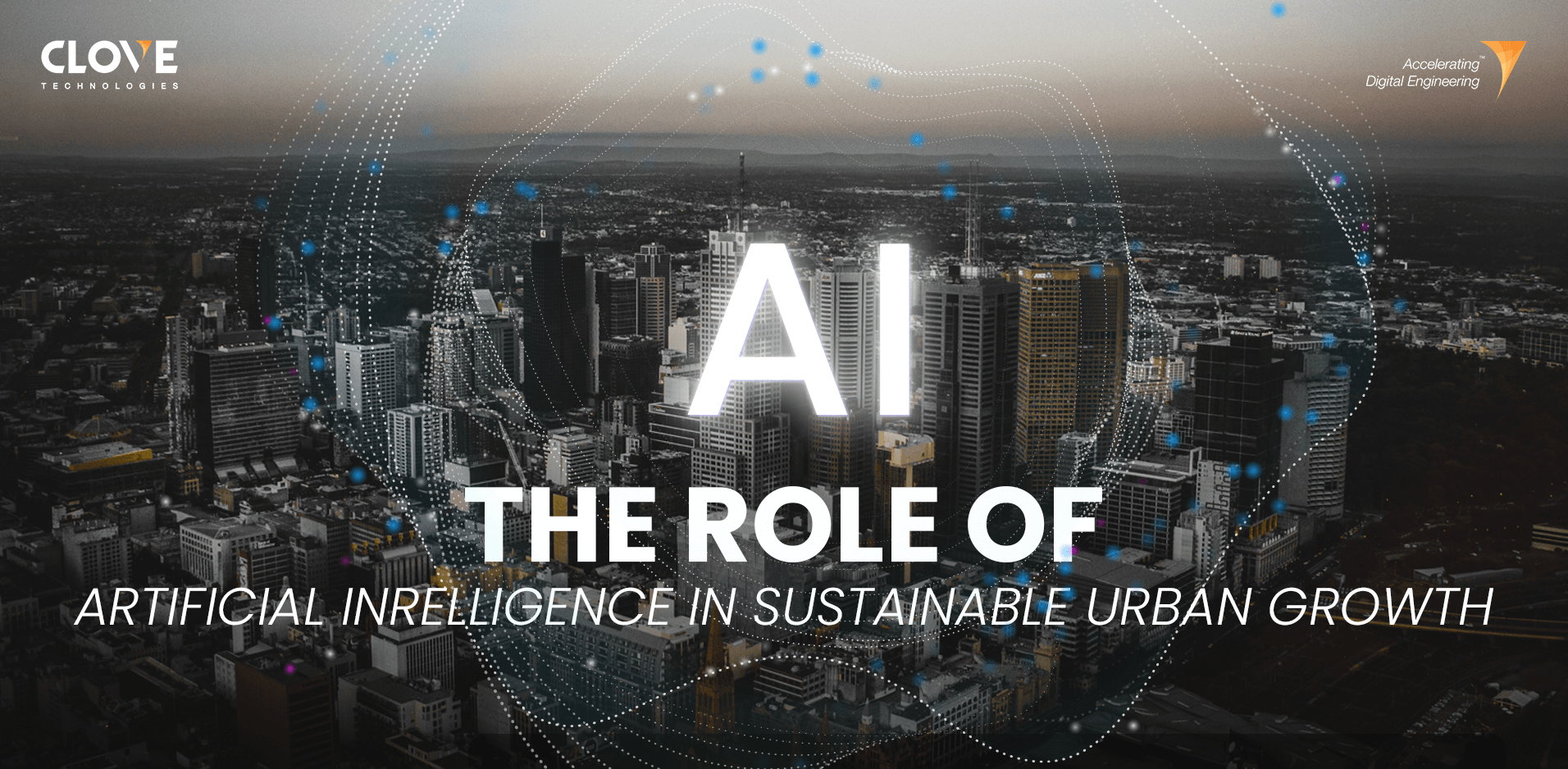
The role of artificial intelligence in sustainable urban growth
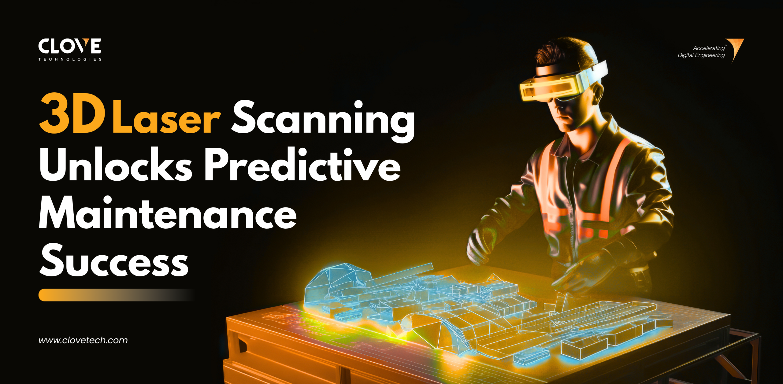
3D Laser Scanning: Unlock “Predictive Maintenance” Success
How Agentic AI Is Transforming BIM Workflows For Smarter Construction In 2025
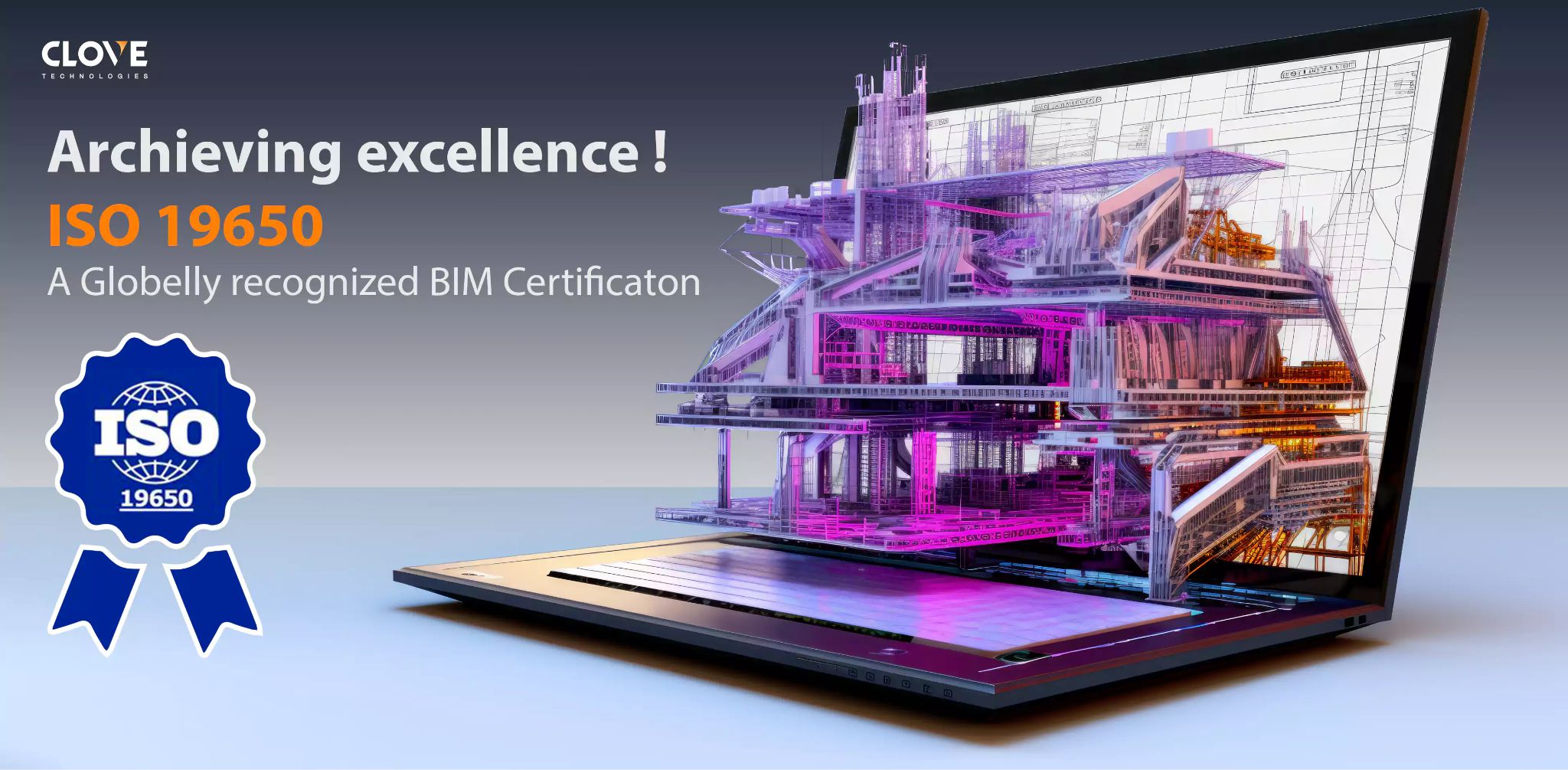
CloveTech’s Commitment to Quality Recognized with ISO 19650 Certification
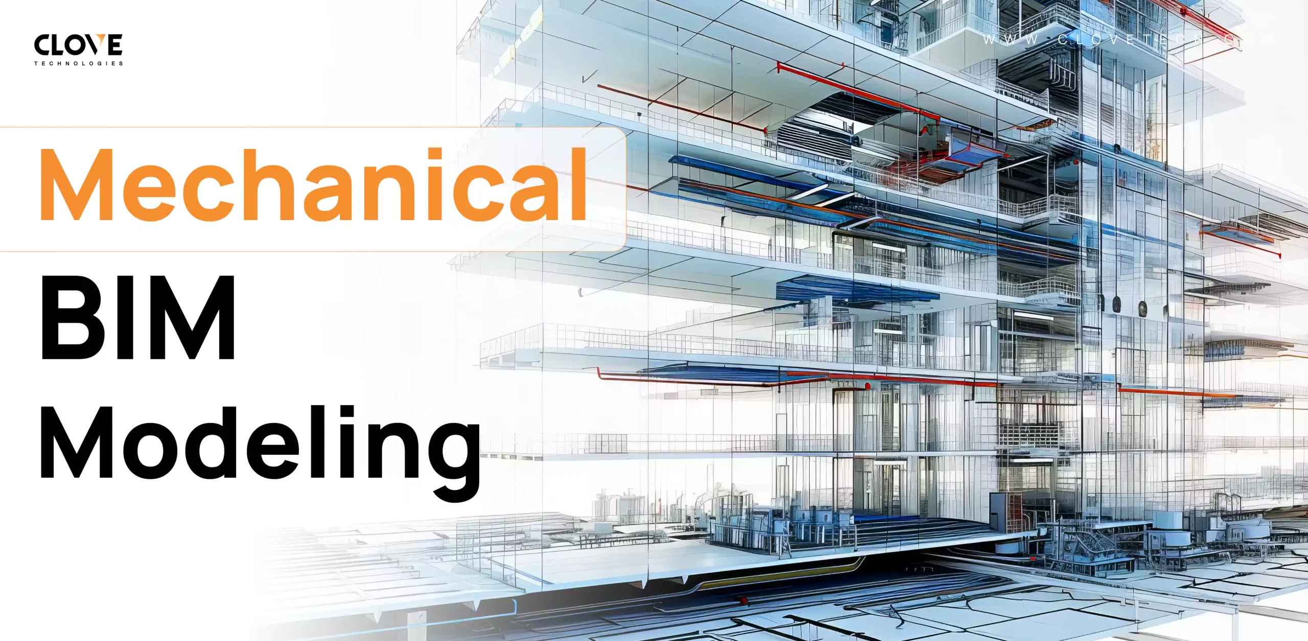
How Mechanical BIM Modeling is Essential for Modern AEC Projects
GeoBIM and Geospatial integration: The new backbone of infrastructure innovation
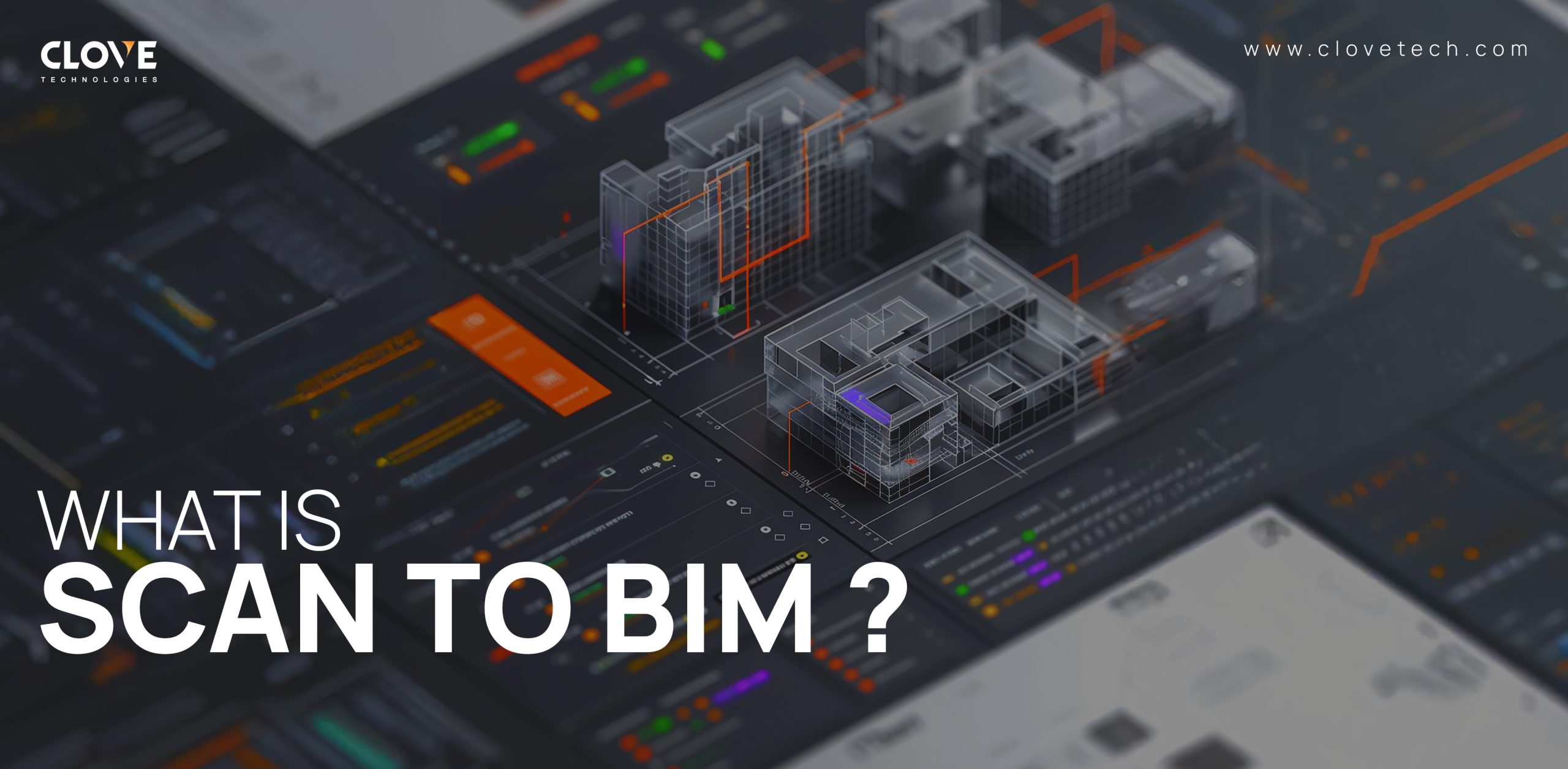
Scan-to-BIM simplified: From site to screen
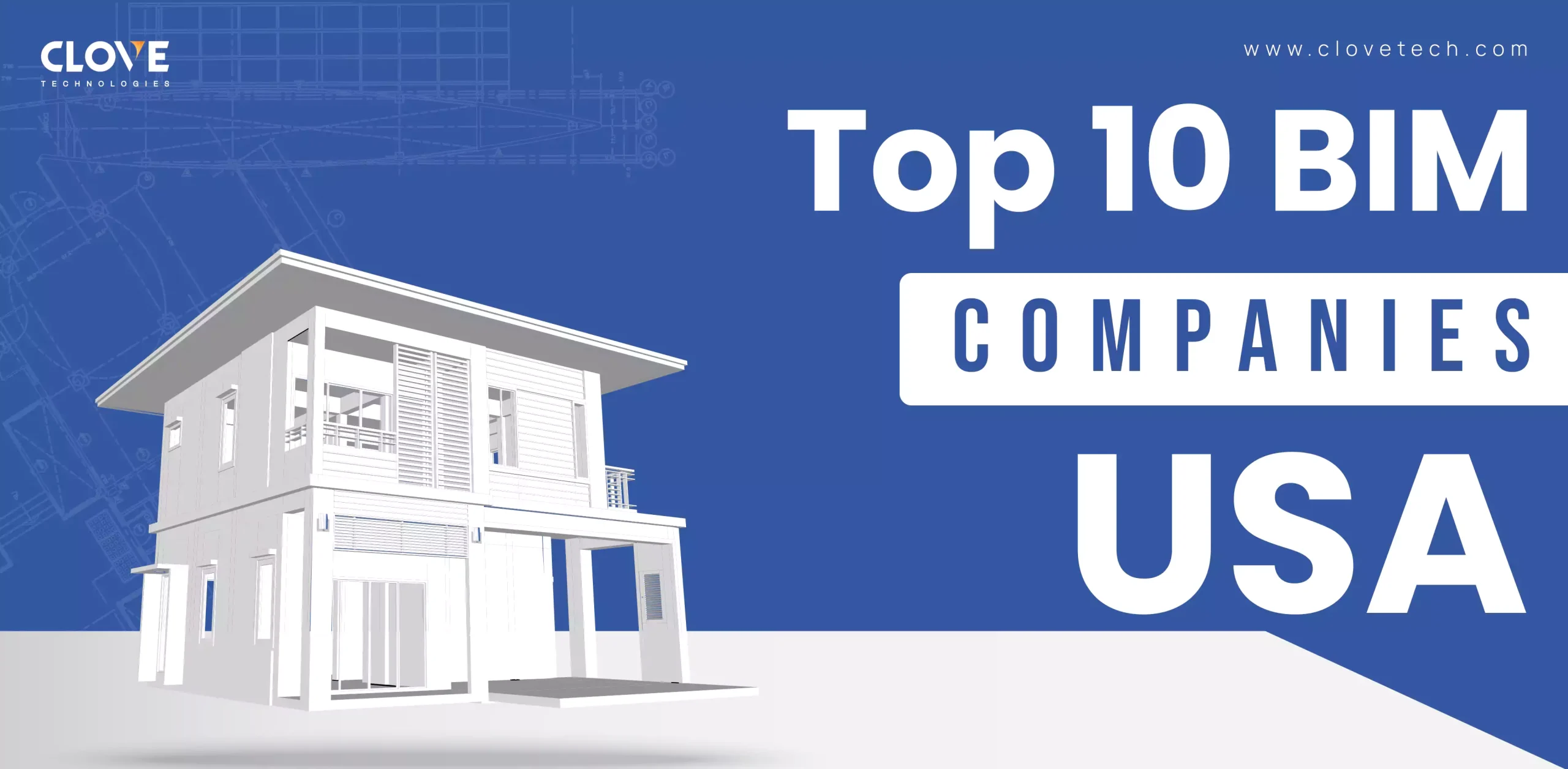
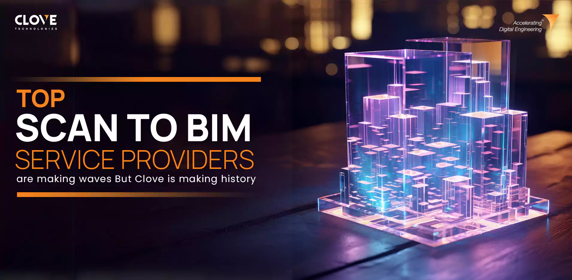
The Best BIM Service Providers Across the USA
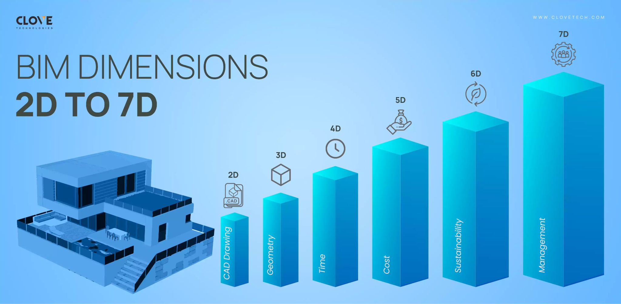
A Complete Guide to the 2D–7D Evolution of BIM
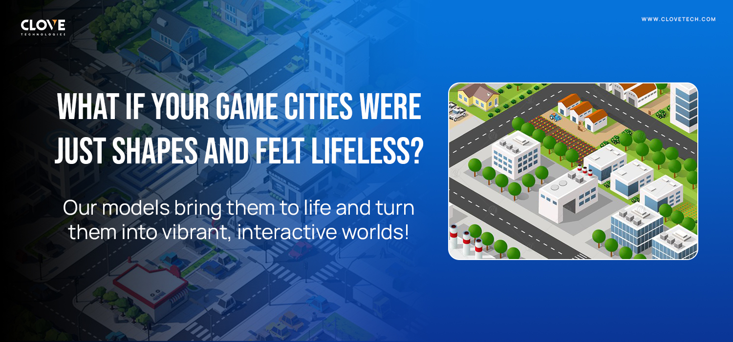
3D city modeling: The new era of gaming realism
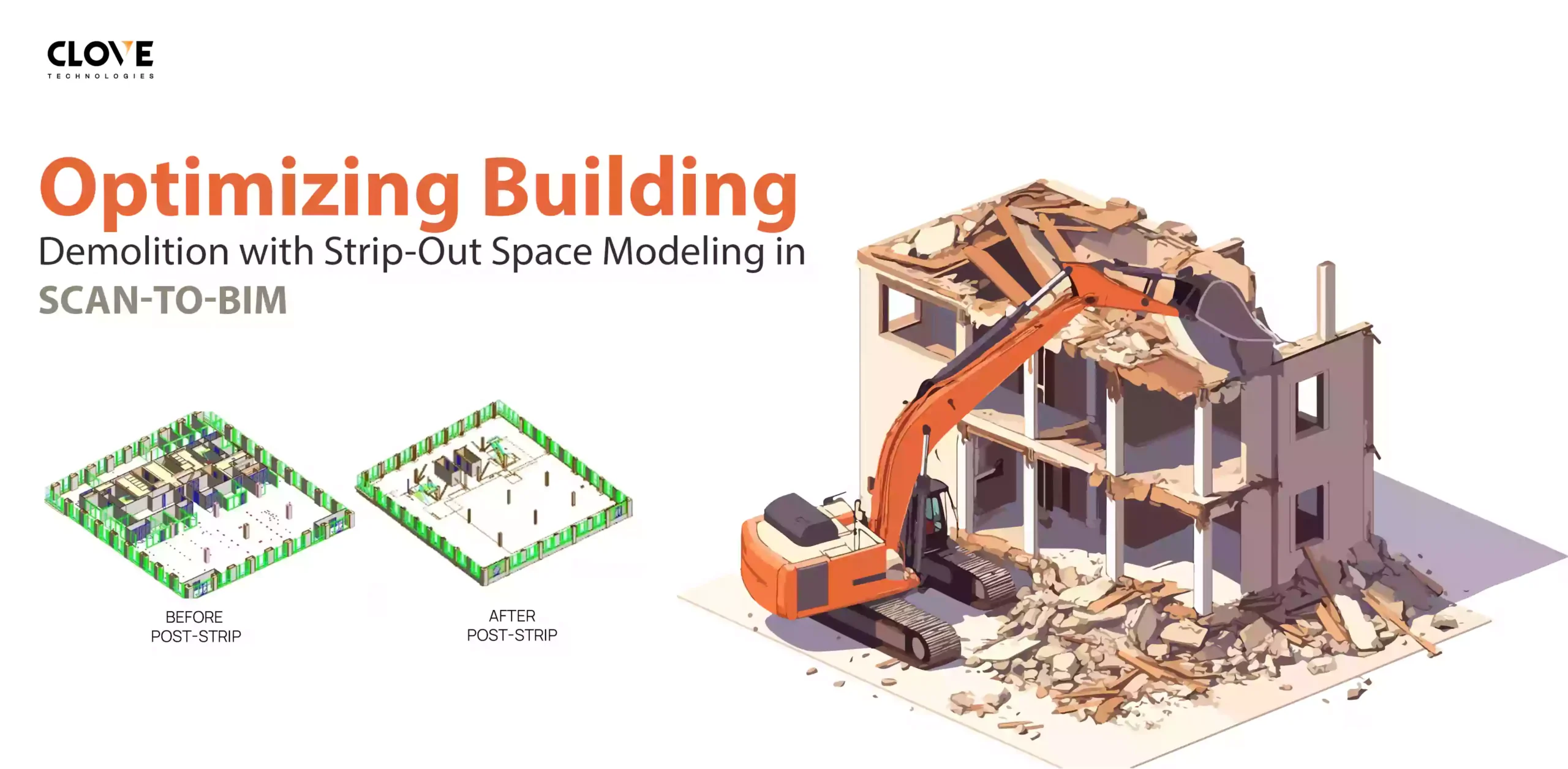
Scan-to-BIM for Demolition: A New Standard in Building Deconstruction

MEP BIM Modeling: Better Accuracy, Fewer Errors, Stronger Outcomes

BIM Software Utilization in India’s AEC Industry 2025
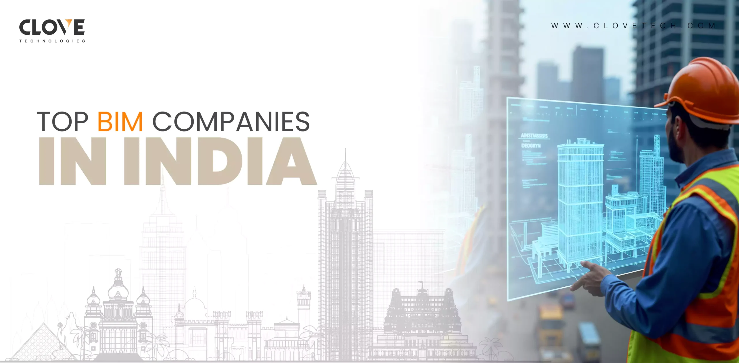
TOP 5 BIM COMPANIES IN INDIA TO OUTSOURCE IN 2025
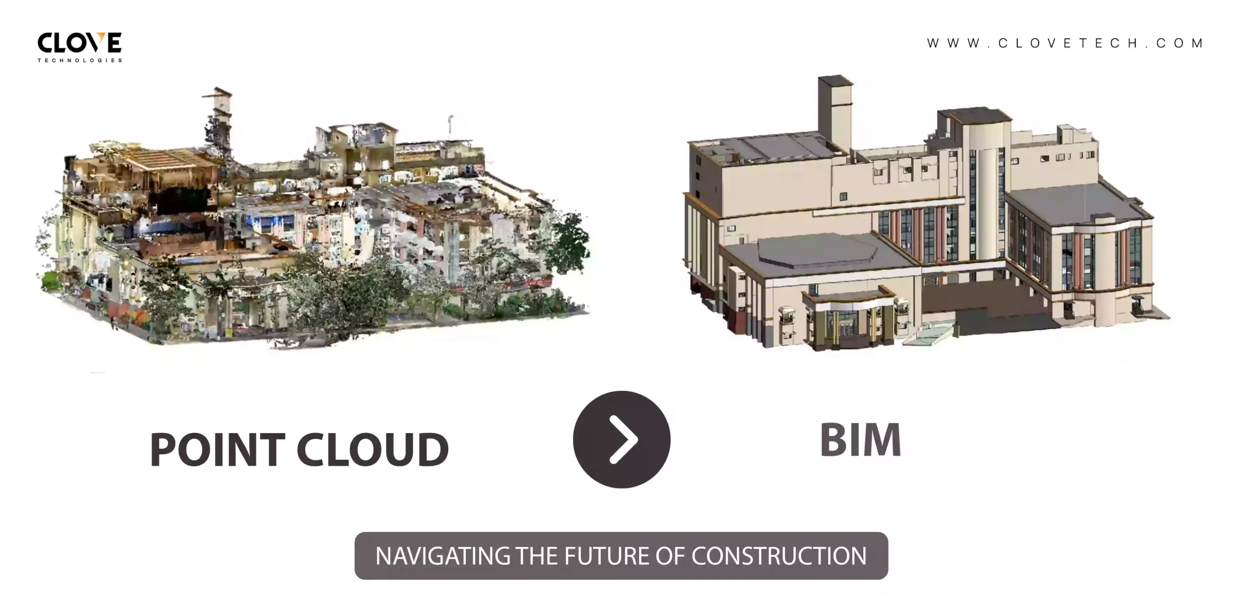
Scan to BIM: Converting Point Clouds for Better Construction Outcomes
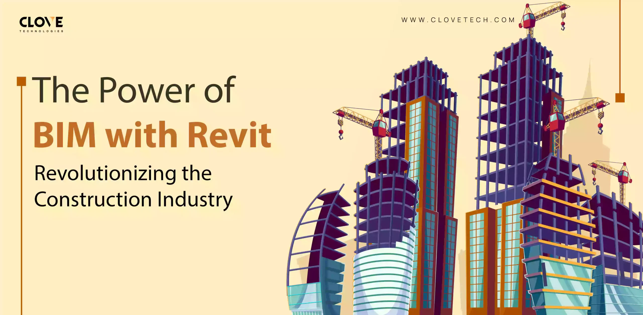
Revit and BIM: A New Era for Construction Efficiency
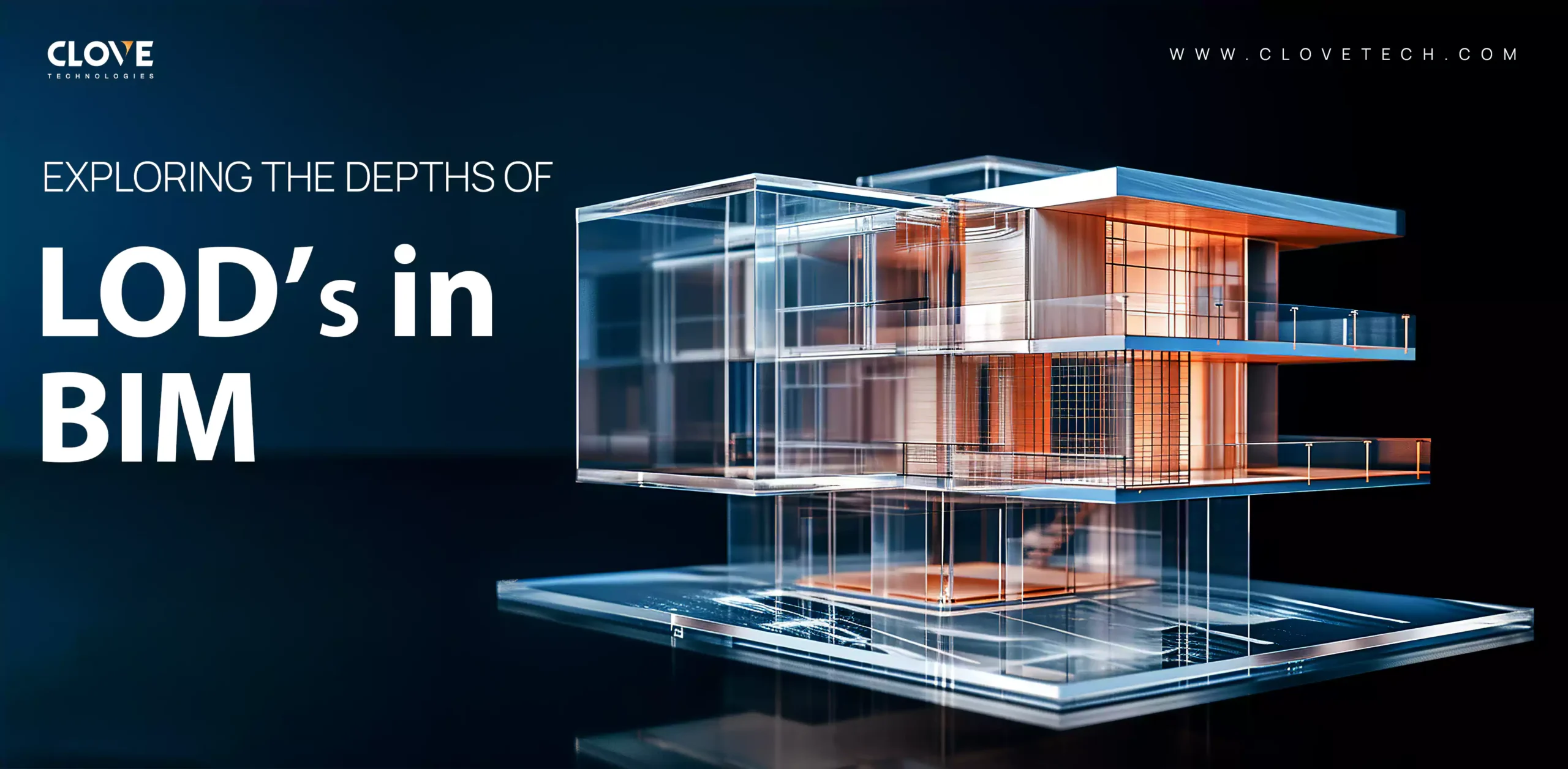
LOD standards in BIM: What you need to know
BIM Deviations Explained — Causes and Prevention
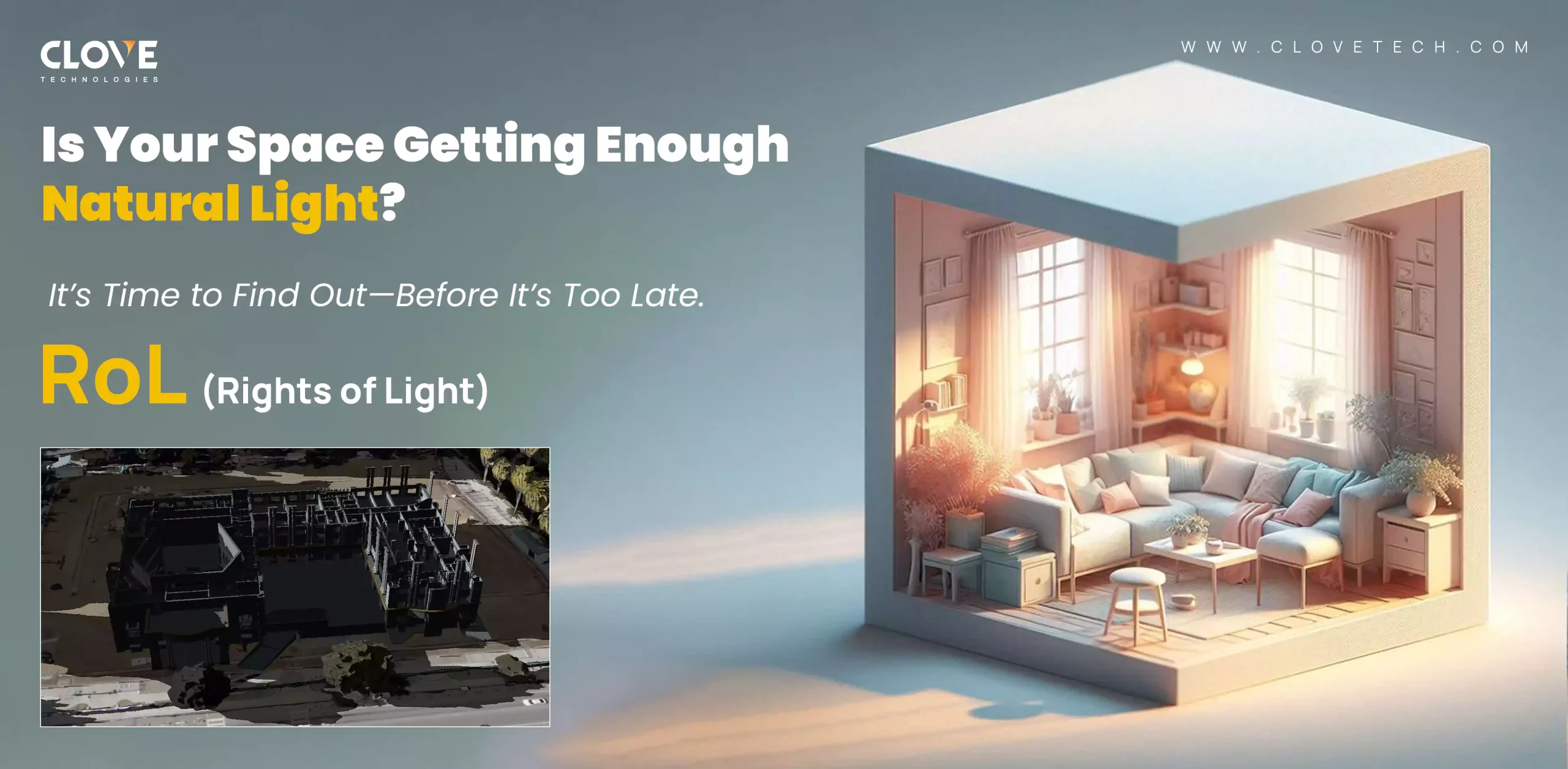
See the sun differently – RoL by Clove Tech
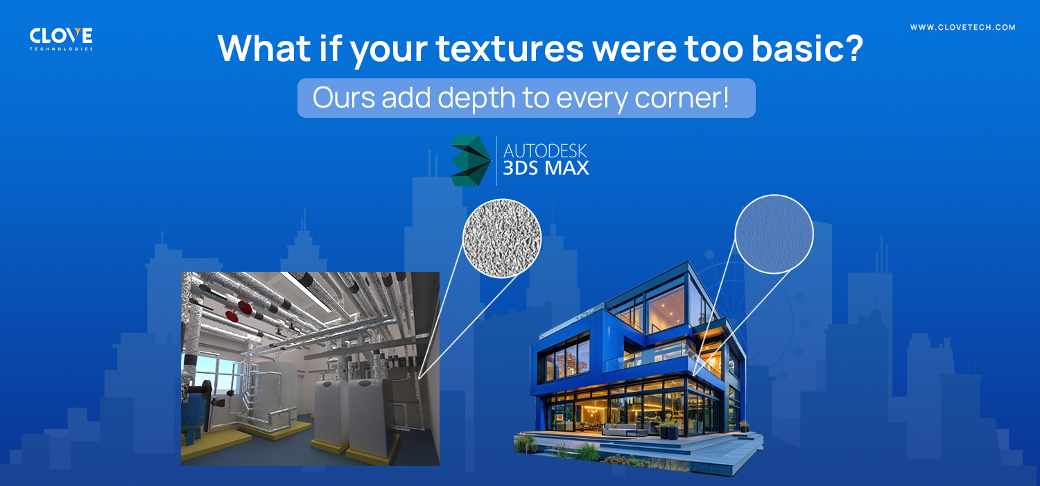
BIM x 3ds Max: The new texturing standard
Understanding BIM deviations and how to minimize them
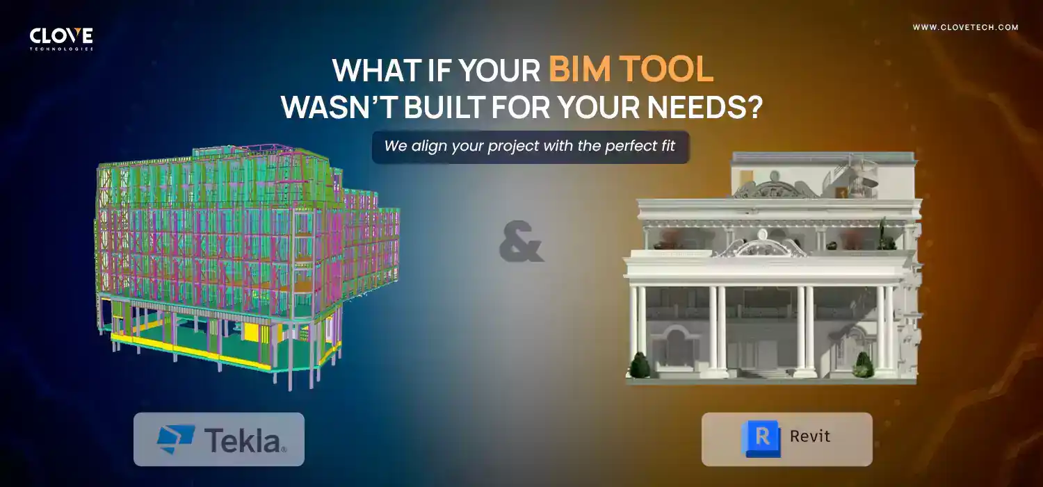
Comparing Revit and Tekla: Which BIM solution delivers more value?
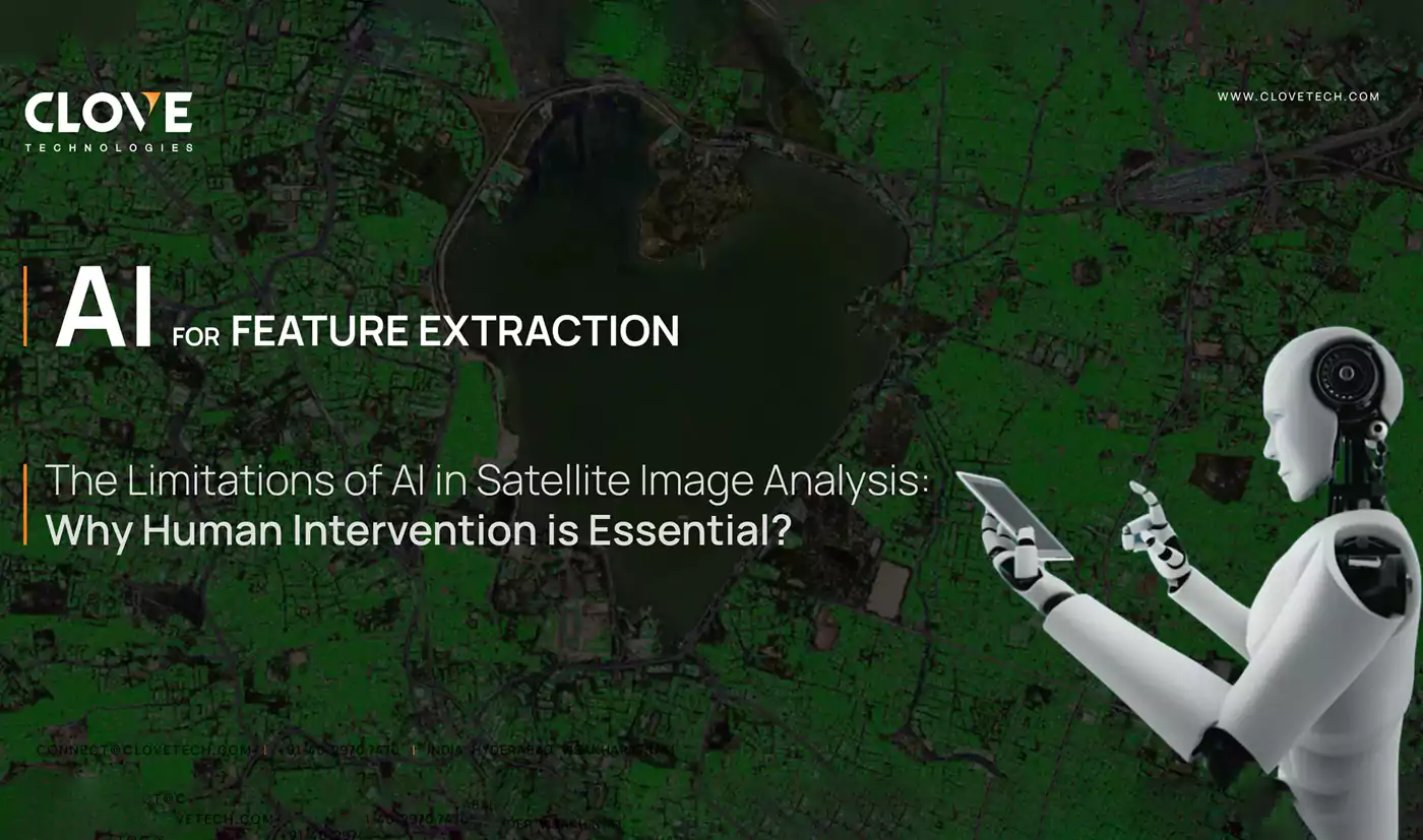
AI for feature engineering: How to extract meaningful data
Why Scan-to-CAD is the new standard for renovation projects
Clove Technologies: Setting new standards in Scan to BIM delivery

GeoBIM intelligence: Unlocking new potential in construction projects
Our Locations

Georgia
12600 Deerfield Pkwy #100 Alpharetta, GA 30004
contact: +1 (470) 518-5999 mail : contact@clovetech.com

Florida
2202 Northwest Shore Blvd Tampa, FL 33607
contact: +1 (470) 518-5999 mail : contact@clovetech.com

Illinois
939 West North Avenue Chicago, IL 60642
contact: +1 (470) 518-5999 mail : contact@clovetech.com
California
6080 Center Drive Los Angeles, CA 90045
contact: +1 (470) 518-5999 mail : contact@clovetech.com
VISAKHAPATNAM
Plot No.9, Hill 2 , Rushikonda, Visakhapatnam, Andhra Pradesh, India - 530 045
contact: +91 40 2970 7470 mail : connect@clovetech.com
HYDERABAD
H. NO. 1-63/50, Plot No. 50, V.V.G Park view, Kavuri hills, Hyderabad, Telangana, India - 500 081
contact: +91 40 2970 7470 mail : connect@clovetech.com
Let's Talk
Let’s discuss your requirements and see how our expertise can help on your next project.