Updated on:
May 15, 2024
5.0
153
13

The Limitations of AI in Satellite Image Analysis: Why
Human Intervention is Essential
In recent years, the integration of artificial intelligence (AI) into satellite image
analysis has revolutionized many industries, from urban planning to environmental
monitoring. AI algorithms, particularly deep learning models, have shown remarkable
capabilities in tasks like object detection, classification and segmentation. However,
amidst the excitement surrounding AI's potential, it's crucial to recognize its limitations
and the essential role of human intervention in completing activities where AI falls short.
Complex
Contextual Understanding:
While AI excels at processing vast amounts of data and
identifying patterns, it often struggles with understanding complex contextual nuances. In
the case of building footprint extraction from satellite images, AI may encounter
difficulties in distinguishing between similar features such as rooftops, roads and
vegetation, especially in densely populated urban areas or regions with varied terrain.
Human analysts possess the ability to interpret subtle visual cues, historical context and
local knowledge that AI lacks, enabling them to make more informed decisions.
Ambiguity
and Uncertainty:
Satellite images can be affected by various factors such as weather conditions, sensor noise
and image artifacts, leading to ambiguity and uncertainty in the data. While AI algorithms
can be trained on diverse datasets to improve robustness, they may still struggle to handle
uncertain situations or novel scenarios not encountered during training. Human intervention
becomes crucial for validating AI-generated results, resolving ambiguities and making
subjective judgments based on intuition and experience.
Adaptability and Creativity:
AI algorithms operate within predefined frameworks and constraints, relying on past data
to make predictions or classifications. However, they may struggle in situations that
require adaptability to new environments, creative problem-solving or thinking outside
the box. Human analysts bring creativity, intuition and domain expertise to the table,
enabling them to adapt to evolving challenges, explore alternative approaches and
innovate beyond the limitations of AI.
Integration with Domain Knowledge:
Effective analysis of satellite imagery often requires integration with domain-specific
knowledge from disciplines such as geography, ecology and urban planning. While AI
excels at processing large-scale data, it may lack the depth of domain expertise
necessary for accurate interpretation and meaningful insights. Human intervention
enables the integration of domain knowledge, expert judgment and interdisciplinary
perspectives into the analysis process, enriching AI-generated outputs and enhancing
their practical utility and relevance in real-world applications.
Verification and Validation:
AI-generated results in satellite image analysis need to be verified and validated to
ensure their accuracy and reliability. Human analysts play a critical role in conducting
quality assurance checks, comparing AI-generated outputs with ground truth data and
identifying and correcting errors or inconsistencies.
In conclusion, while AI has undoubtedly transformed satellite
image analysis and brought unprecedented efficiency and scalability to many tasks, it is
not a cure-all. Human intervention remains indispensable for complementing AI's
capabilities, addressing its limitations and ensuring the reliability, interpretability
and ethical soundness of the results. As we continue to harness the power of AI in
remote sensing applications, it is essential to strike a balance between automation and
human expertise, utilizing the strengths of both to achieve more accurate, insightful
and socially responsible outcomes.
Discover more of our innovative blogs

sacn to bim
sacn to bim
PRECISION IN CONSTRUCTION - SCAN TO BIM PERFECTION

scan to cad
scan to cad
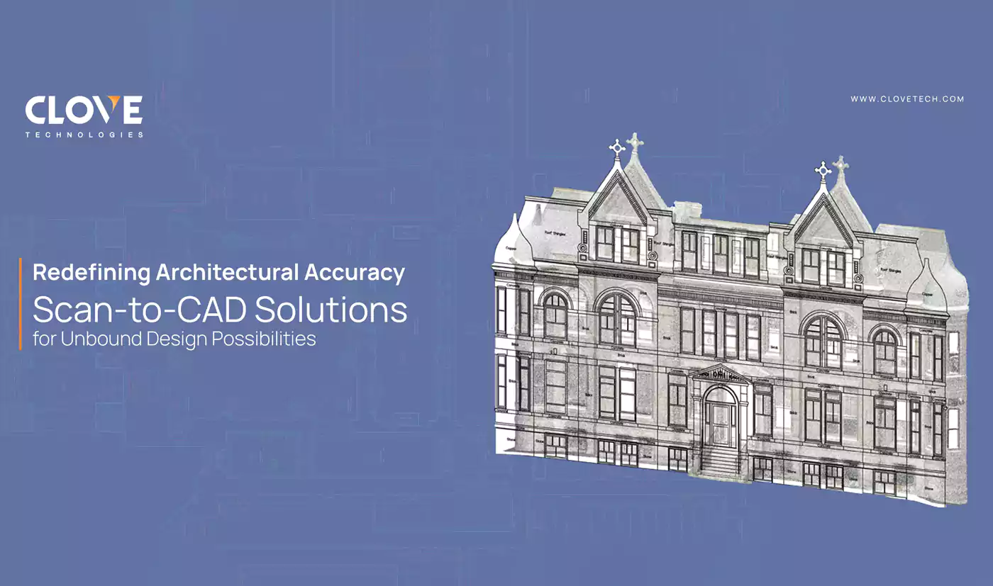
REDEFINING ARCHITECTURAL ACCURACY - SCAN-TO-CAD SOLUTIONS FOR UNBOUND DESIGN POSSIBILITIES.

Geo bim
Geo bim
WHY IS GeoBIM A GAME-CHANGER?
Let's Talk
Let’s discuss your requirements and see how our expertise can help on your next project.
Let's Get Started
Let's Get Started