Updated on:
Oct 10, 2023
5.0
153
13

GeoBIM is a revolutionary technology that combines Geographic Information Systems (GIS) with
Building Information Modeling (BIM).
By combining two powerful technologies, GeoBIM can be used to create more efficient,
accurate and comprehensive models of buildings and the surrounding environment. This
technology has the potential to revolutionize the way we design, construct and manage our
built environments. It allows us to better understand how buildings interact with their
surroundings, as well as enabling construction teams to work better together. With its
ability to create highly detailed 3D models quickly and easily, GeoBIM is a game-changer for
the industry. In this article, we will explore exactly why GeoBIM is so revolutionary and
how it can benefit professionals in architecture, engineering and construction.
WHAT IS
GeoBIM?
GeoBIM is a new technology that allows users to integrate geographic data with building
information modeling (BIM) data. This allows for more efficient and accurate planning,
design, construction and operations of buildings and infrastructure.
GeoBIM CAN BE
USED FOR A VARIETY OF PURPOSES, SUCH AS:
Evaluating the impact of proposed construction on the surrounding environment
Analyzing the potential for natural disasters or other hazards to affect a building
or infrastructure project
Identifying opportunities for site remediation or green infrastructure projects
Planning evacuation routes and emergency responses
Optimizing building energy use
GeoBIM technology is still in its early stages, but it has already shown great promise in
improving the efficiency and accuracy of planning, designing, constructing and operating
buildings and infrastructure.
THE
BENEFITS OF
GeoBIM
GeoBIM is a game-changer in the world of construction and architecture. By bringing together
geographical data with Building Information Modelling (BIM), it enables professionals to
make more informed decisions, work more efficiently and ultimately create better buildings.
HERE ARE JUST
SOME OF THE BENEFITS OF GeoBIM:
1. Better decision-making – With access to accurate, up-to-date geographical data,
professionals can make more informed decisions about construction projects. This data can be
used to assess the suitability of a site for development, identify potential risks and
optimize the design of a project. For Example, one of our major clients uses Geo data to
determine the positioning of the tower cranes on the building sites.
2. Increased efficiency – GeoBIM can help streamline the construction process by reducing
the need for traditional surveys and improving coordination between different team members.
This can save time and money, as well as improve safety on construction sites.
3. Improved buildings – By using GeoBIM, architects and engineers can create better
buildings that are better suited to their surroundings. This includes considering factors
such as climate, topography and local infrastructure when designing a project. Ultimately,
this leads to buildings that are more sustainable, efficient and resilient.
HOW
GeoBIM IS CHANGING THE CONSTRUCTION INDUSTRY?
The construction industry is evolving rapidly, with new technologies and approaches changing
the way projects are designed, built and managed. GeoBIM is one of the most powerful
emerging technologies in this space and it has the potential to revolutionize the
construction industry.
GeoBIM is a technology that integrates geographic information
(GI) and building information modeling (BIM). This allows for a more comprehensive view of
projects, as well as more accurate analysis and decision-making.
There are many potential benefits of using GeoBIM in
construction. For example, it can help reduce costs by enabling better planning and
coordination. It can also improve safety by providing better visibility into potential
hazards. And it can help project teams work more efficiently by giving them access to
real-time data about the project site.
In short, GeoBIM is a powerful tool that is already starting to change the construction
industry. We are only just beginning to scratch the surface of what this technology can do,
and it is sure to have a major impact on how construction projects are designed, built, and
managed in the future.
HOW CAN WE HELP?
GeoBIM is a game-changer because it helps us to better understand and manage our built
environment.
We, at Clove Technologies, have years of experience in delivering projects that invlove or
take the help of GeoBIM to make informed decisions for our clients.
WE
OFFER A WIDE RANGE OF SERVICES SUCH AS :
GeoBIM implementation & integration
3D modelling and visualization
Data Management & Analysis
Spatial planning & GIS analytics
Asset management & maintenance
Remote sensing & aerial surveying
Design & consultation services
If you are looking to leverage the power of GeoBIM for your project, please feel free to
contact us to further discuss your requirements and we will be happy to help!
CONCLUSION:-
GeoBIM is a revolutionary technology that promises to revolutionize how we approach data
management and collaboration.
It offers an unprecedented level of integration between geographic information systems (GIS)
and building information modeling (BIM), enabling users to access both spatial and
non-spatial data in one unified platform. With its ability to capture, store, process,
analyze, visualize, share and manage large amounts of complex data quickly and accurately,
GeoBIM proves itself as a game-changer in the world of construction engineering.
Discover more of our innovative blogs

sacn to bim
sacn to bim
PRECISION IN CONSTRUCTION - SCAN TO BIM PERFECTION

scan to cad
scan to cad
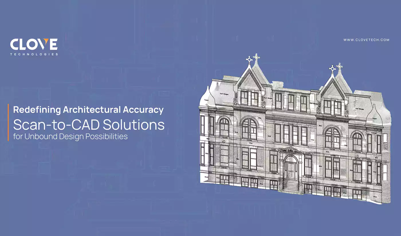
REDEFINING ARCHITECTURAL ACCURACY - SCAN-TO-CAD SOLUTIONS FOR UNBOUND DESIGN POSSIBILITIES.

vectorization
vectorization
AI FOR FEATURE EXTRACTION
Let's Talk
Let’s discuss your requirements and see how our expertise can help on your next project.
Let's Get Started
Let's Get Started