Data Acquisition
Helping companies to acquire geo-referenced spatial data to make urban development intelligent and economical.
OVERVIEW
Since the Idealistic Generation is moving towards potentially developed and
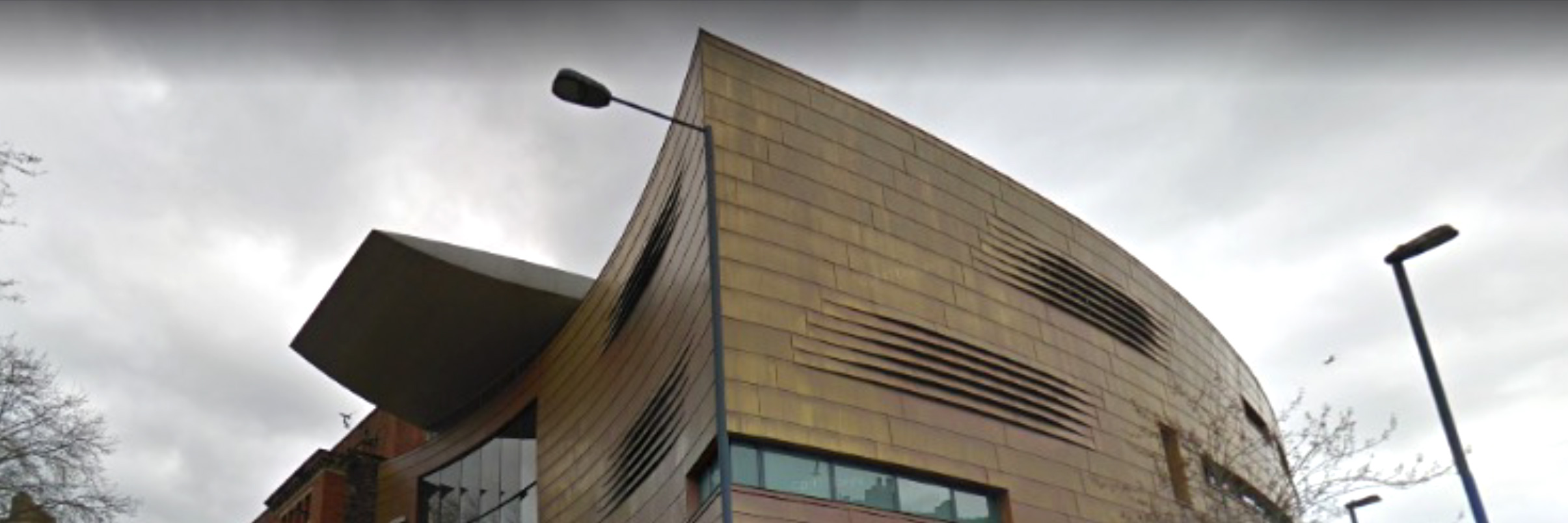
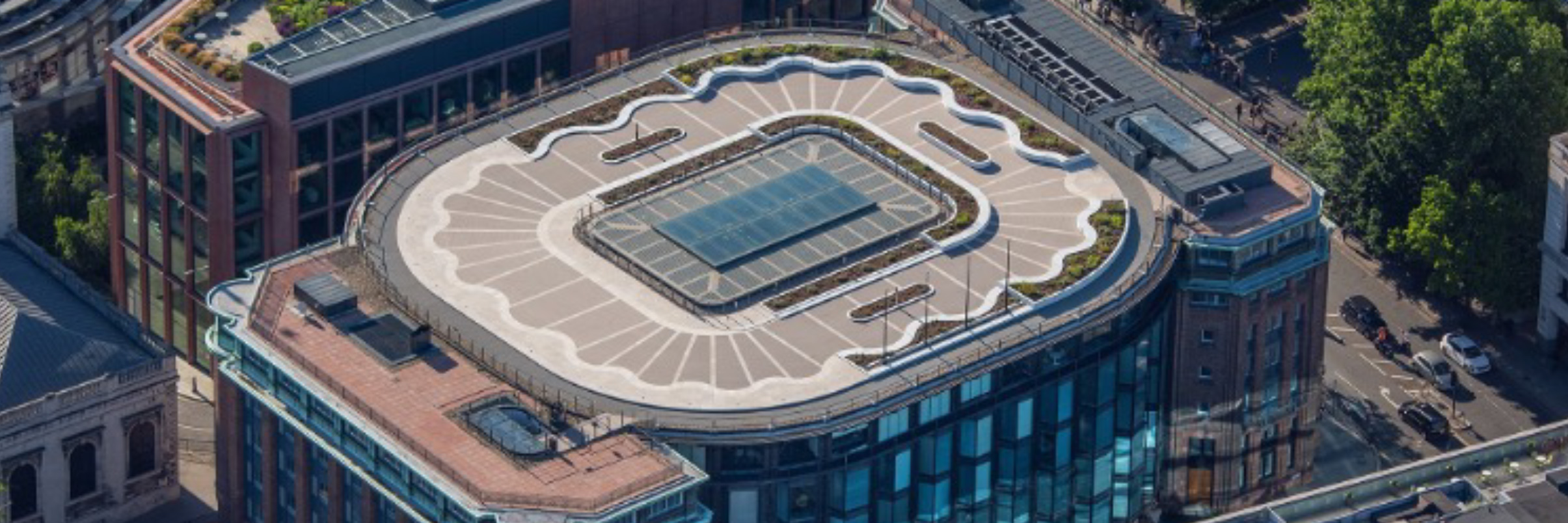
self-sustaining urban neighbourhoods, it is easier to renovate large areas with statistical Analysis and detailed Modeling. Clove Technologies offer City Modeling services that significantly improve Urban retrofitting, architecture,
and design insights. We create digital models of Urban areas by incorporating spatial and geo-referenced data collected through multiple methods.
The datasets can be collected via various systems, from affordable
approaches such as Aerial Photography to High precision Lidar Data and High-resolution Satellite Images, depending on the client's budget and requirements. After collecting and processing the datasets, the information will
be merged into a shared design to make geospatial analysis and utilisation more effortless. We develop custom workflows to improve simulation, data management and process automation. Our knowledge of spatial intelligence not
only creates realistic 3D content but also promotes faster construction of flexible infrastructure scenarios.
OFFERINGS
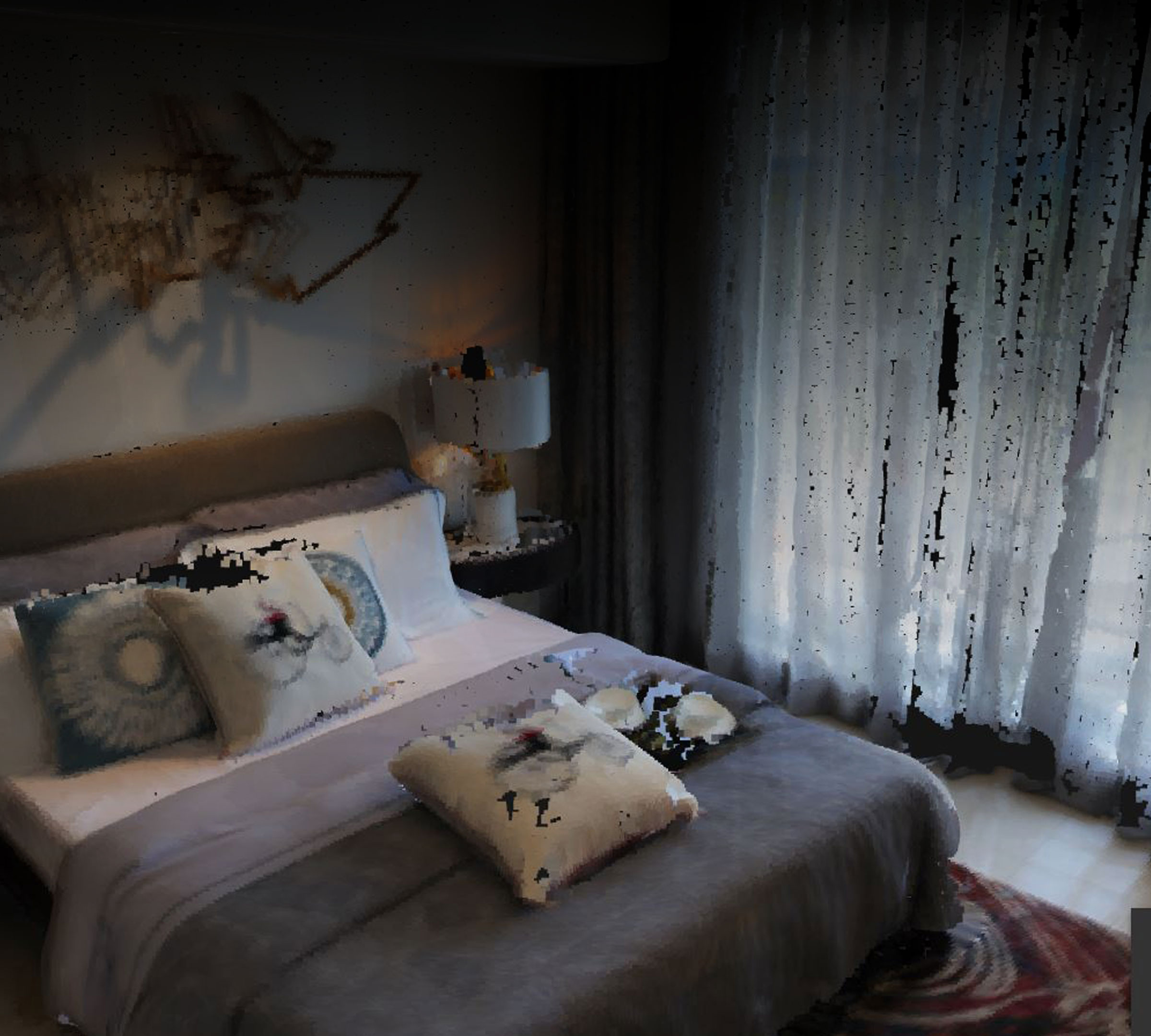
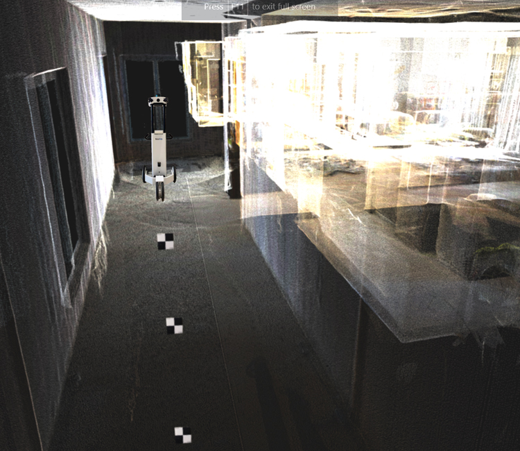
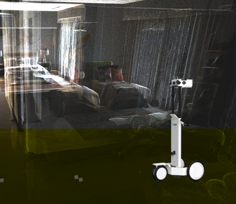
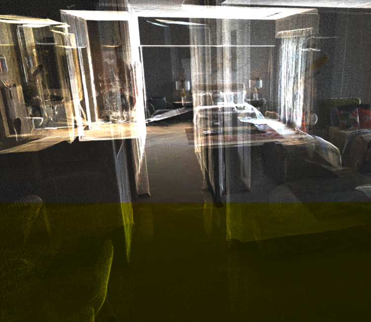
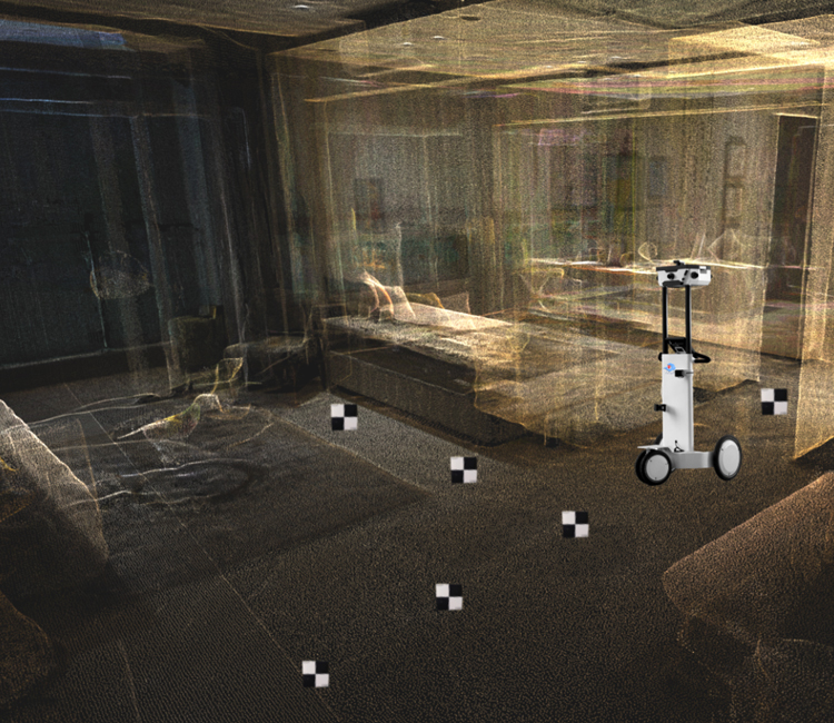
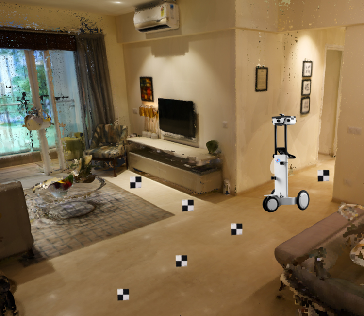
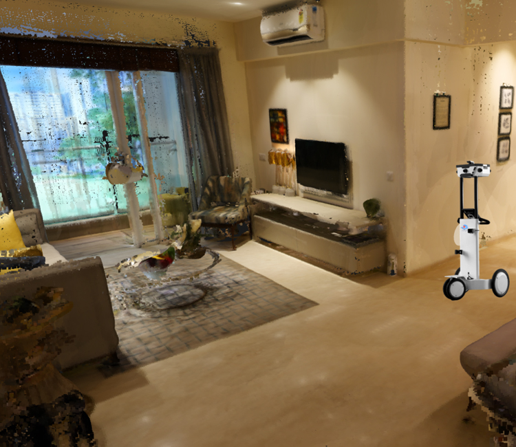
- Indoor Walk through mapping
- Indoor Laser scanning
- Post strip scanning
- Outdoor Laser scanning
- Unmanned Aerial Services
- Point Cloud registration
- Reality Capture
ADVANTAGES
- 19+
- YEARS OF EXPERIENCE
- 100+
- AUTOMATION
- 35+
- TECHNOLOGIES
- 650+
- SCALE
Related Projects

We’d love to hear about your next project.
Contact Us
