Data Processing
Acquiring advanced earth surface information data using advanced sensors-onboard airborne or spaceborne platforms.
OVERVIEW
With a team of GIS professionals well-versed in using an array of satellite
data products and processing platforms, we always offer superior image classification, interpretation, scene analysis, and reporting services with matchless accuracy and turnaround time. Our dedicated team invest their expertise
to capture and update required topographic, hydrological as well as man-made infrastructure data sets and to prepare GIS base maps with detailed features using top-notch satellite data processing software.
After acquiring
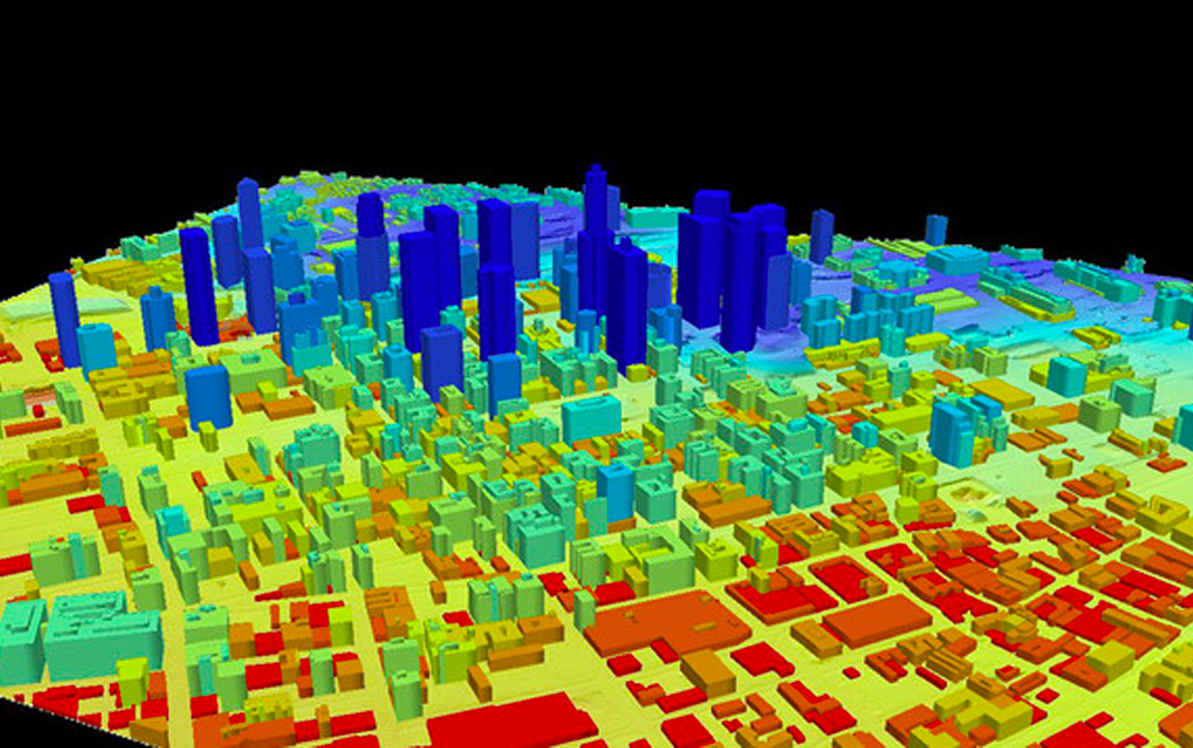
Stereoscopic, Aerial and Hyperspectral satellite imagery, we perform data processing for radiometric, atmospheric and topographic corrections to reach the target accuracy. Our remote sensing procedures provide data and insights
that can aid planning, designing and mapping applications for Archaeological Researches, Military surveillance, and city and telecom planning requirements.
OFFERINGS
- Utility Mapping
- Parcel Mapping
- Clutter Mapping
- Building Footprints
- Lidar Mapping
- Photogrammetry
ADVANTAGES
- 19+
- YEARS OF EXPERIENCE
- 100+
- AUTOMATION
- 35+
- TECHNOLOGIES
- 650+
- SCALE
Related Projects


We’d love to hear about your next project.
Contact Us
