Framework for collecting, generating, analysing and displaying spatial and non-spatial data
DATA Acquisition
Helping companies to acquire geo-referenced spatial data to make urban development intelligent and economical.
OVERVIEW
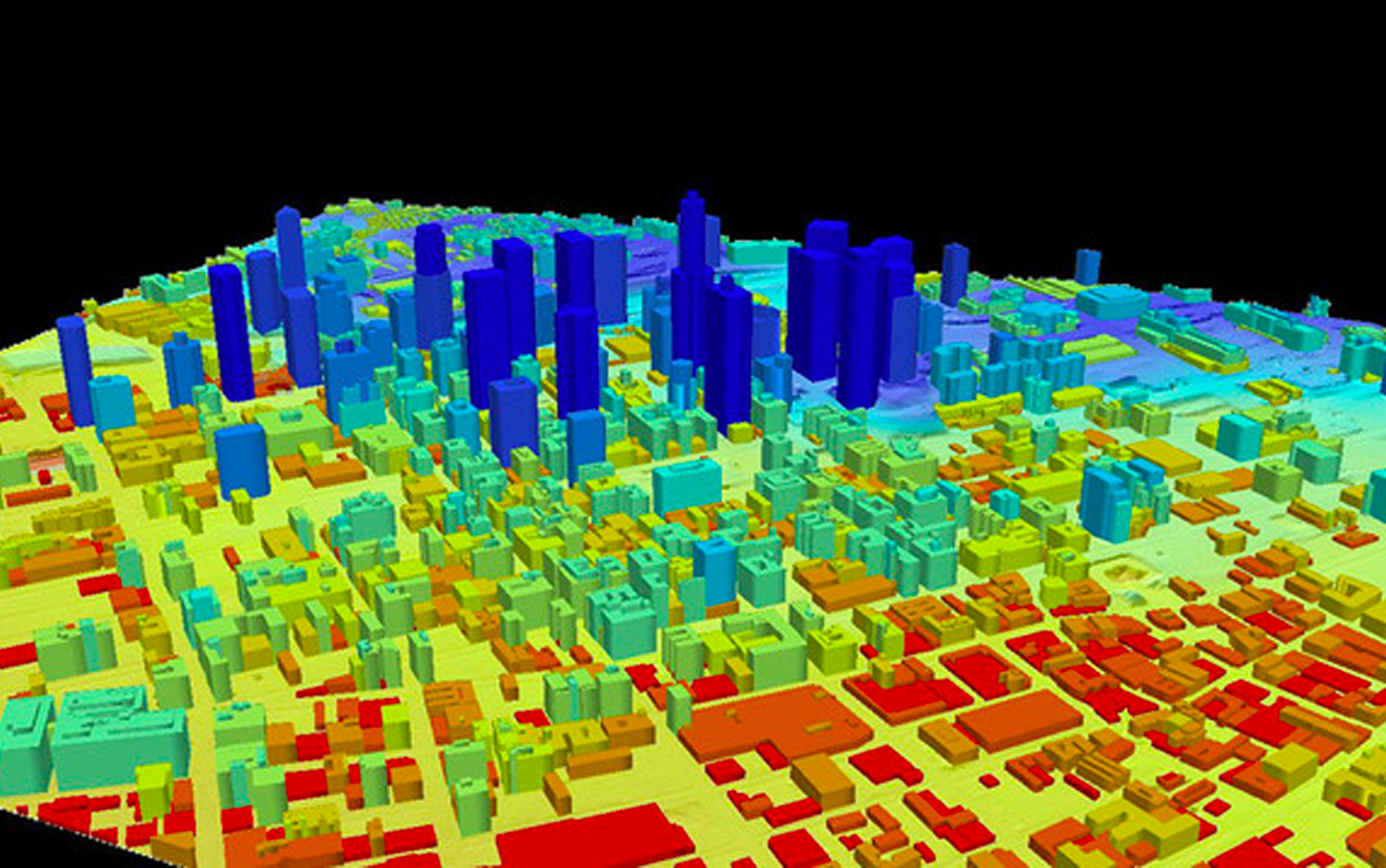
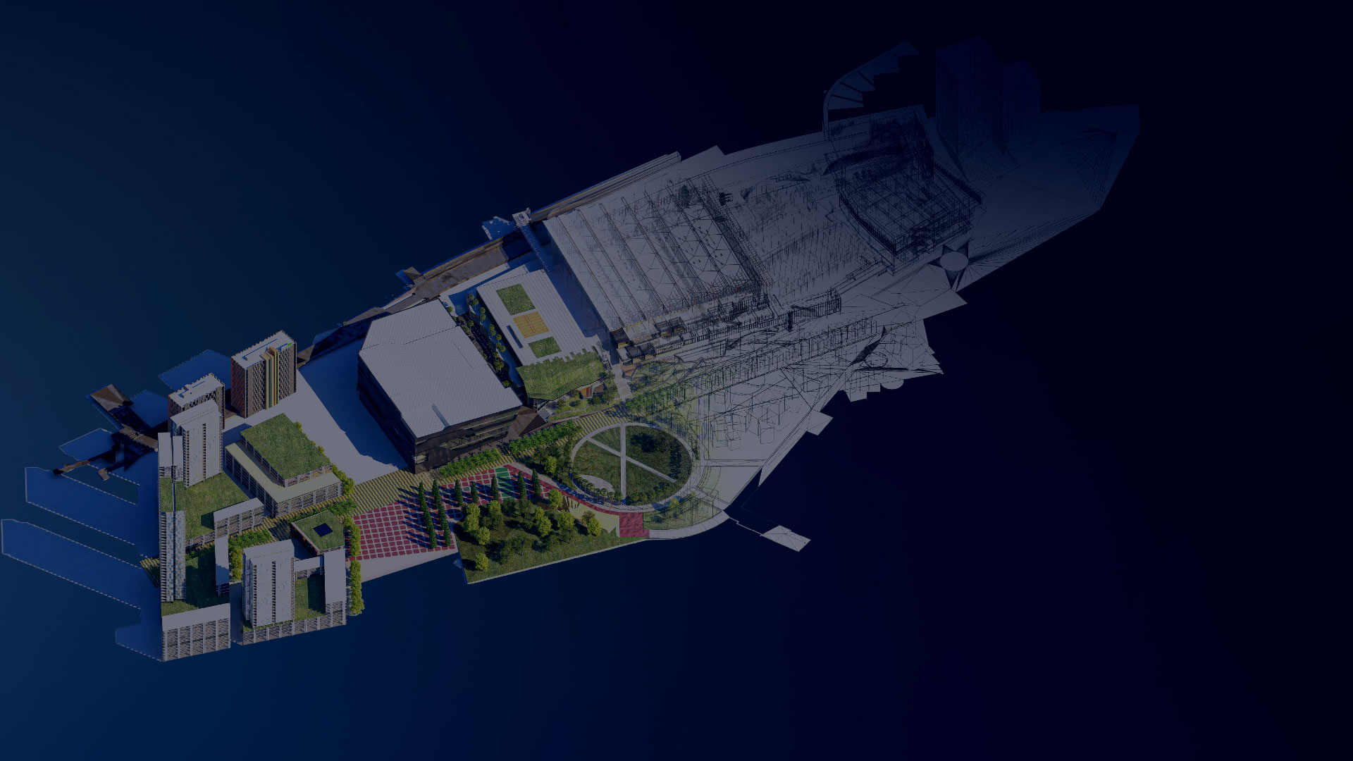
Since the Idealistic Generation is moving towards potentially developed and self-sustaining urban neighbourhoods, it is easier to renovate large areas with statistical Analysis and detailed
Modeling. Clove Technologies offer City Modeling services that significantly improve Urban retrofitting, architecture, and design insights. We create digital models of Urban areas by incorporating spatial and geo-referenced
data collected through multiple methods.
The datasets can be collected via various systems, from affordable approaches such as Aerial Photography to High precision Lidar Data and High-resolution Satellite
Images, depending on the client's budget and requirements. After collecting and processing the datasets, the information will be merged into a shared design to make geospatial analysis and utilisation more effortless.
We develop custom workflows to improve simulation, data management and process automation. Our knowledge of spatial intelligence not only creates realistic 3D content but also promotes faster construction of flexible
infrastructure scenarios.
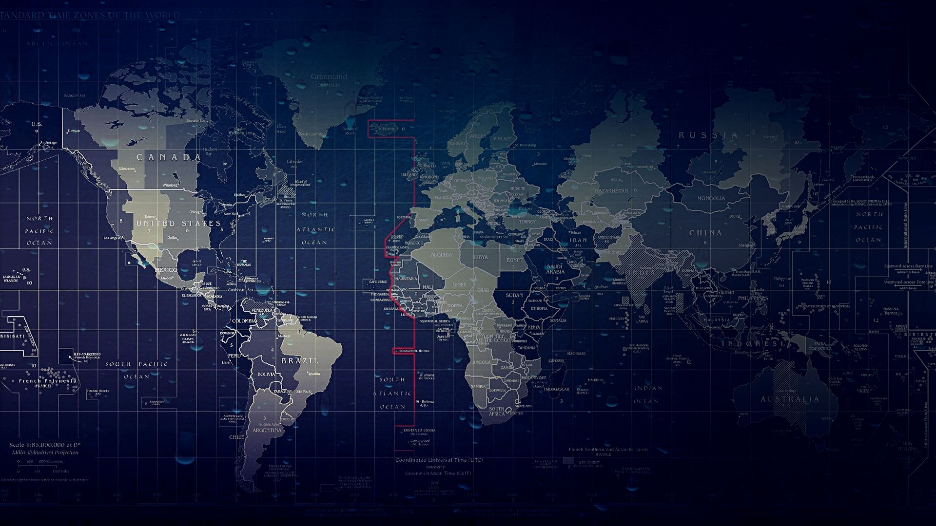
Acquiring advanced earth surface information data using advanced sensors-onboard airborne or spaceborne platforms.
OVERVIEW
With a team of GIS professionals well-versed in using an array of satellite data products and processing platforms, we always offer superior image classification, interpretation, scene
analysis, and reporting services with matchless accuracy and turnaround time. Our dedicated team invest their expertise to capture and update required topographic, hydrological as well as man-made infrastructure
data sets and to prepare GIS base maps with detailed features using top-notch satellite data processing software.
After acquiring Stereoscopic, Aerial and Hyperspectral satellite imagery, we perform data
processing for radiometric, atmospheric and topographic corrections to reach the target accuracy. Our remote sensing procedures provide data and insights that can aid planning, designing and mapping applications
for Archaeological Researches, Military surveillance, and city and telecom planning requirements.
Formulating digital platforms to transform the landscape of applications through leveraging modern techniques
OVERVIEW
You can’t meet new demands with old approaches. While enterprises are adopting innovations at maximum speed, yesterday’s state-of-the-art software wouldn’t take long to become a legacy
system tomorrow. Our policy is platform-based, while our integration transformation focuses on the process and application value progression.
We achieve substantial operational efficiency in modern application
creation by leveraging crucial technical elements such as APIs (Application program Interfaces), DevOps Practices, cloud computing and real-time analytics. We offer user experience-centric applications continuously
integrated into incremental changes to manage generational compatibility. Our seasoned developers bring extensive technical and multidisciplinary industry expertise to help our clients enhance their current applications
and turn them into flexible and streamlined programs.