
Accurate information about existing site conditions is essential for successful engineering and construction projects. However, outdated drawings, incomplete measurements, and undocumented site changes often create difficulties for surveyors, engineers, and contractors. These gaps can lead to design conflicts, construction delays, and unnecessary rework.
Point Cloud to BIM for surveyors, engineers, and contractors closes that gap. It combines 3D reality capture with Building Information Modeling (BIM) so your team can work from structured digital models of existing buildings and infrastructure. In this guide, you’ll learn what point clouds and BIM are, how the conversion works, and how each discipline benefits.
A point cloud is a collection of millions of 3D data points, each with X, Y, and Z coordinates, that together map the visible surfaces of a building, structure, or site. It’s captured with 3D laser scanning, LiDAR, or photogrammetry, and gives you an accurate, measurable record of existing conditions.
Building Information Modeling ( BIM) is a collaborative process for creating and managing digital information about buildings and infrastructure across their lifecycle. Unlike a basic 3D model, it organises components such as walls, beams, ducts and equipment into intelligent elements that carry details like dimensions, materials and relationships, giving every project team a shared reference to work from.
Point Cloud to BIM is the process of converting captured 3D point cloud data into structured Building Information Models.
Point cloud data provides the measured geometry of existing conditions, while BIM organizes that information into identifiable building elements.
For example, a laser scan captures millions of points representing the surfaces of a building. During Point Cloud to BIM conversion, those points are used to model walls, columns, beams, floors, and other required components.
The resulting model provides a digital representation of surveyed conditions that can support engineering, construction, and renovation activities.
This process is also commonly referred to as Scan to BIM, particularly when the workflow begins with 3D laser scanning.
The Point Cloud to BIM workflow involves six important stages.
1. Site Survey and Reality Capture
The existing building or infrastructure is surveyed using terrestrial laser scanners, mobile LiDAR, or other appropriate reality capture technologies.
These systems collect spatial measurements of visible site conditions.
2. Point Cloud Registration
Scans captured from multiple positions are aligned into a common coordinate system.
This creates a unified point cloud representing the surveyed environment.
3. Data Processing
The registered point cloud is cleaned, organized, and prepared for modeling.
Unwanted data is removed where appropriate, and the quality of the captured information is reviewed.
4. BIM Model Development
BIM specialists use the processed point cloud as a reference to create architectural, structural, and MEP components.
Model elements are developed according to the project requirements and intended use.
5. Quality Verification
The developed BIM model is checked against the point cloud to identify geometric differences, missing elements, and inconsistencies.
6. Model Delivery
The completed BIM model is delivered in agreed formats such as Revit or IFC for design coordination, renovation planning, and construction documentation.
Workflow: Reality Capture → Point Cloud Registration → Data Processing → BIM Modeling → Quality Verification → Delivery
Surveyors use point cloud data to document existing site conditions and deliver accurate spatial information.
By converting surveyed data into BIM models, they can provide structured digital documentation for architectural and engineering applications.
- Measured building surveys
- Existing-condition modeling
- Architectural plans, sections, and elevations
- As-built documentation
- Industrial and infrastructure surveys
Extends the value of survey data from spatial measurements to usable digital models.
Engineers use Point Cloud to BIM models to understand existing structures, coordinate designs, and plan modifications.
The models provide a measured geometric reference for structural and MEP engineering applications.
- Structural modeling and existing-condition assessments
- MEP coordination and equipment upgrades
- Design verification
- Industrial facility modifications
- Renovation and retrofit planning
Improves engineering coordination by reducing assumptions about existing physical conditions.
Contractors use Point Cloud to BIM models to understand site constraints and coordinate proposed construction activities with existing structures.
This helps identify potential geometric conflicts before installation and supports better project planning.
- Preconstruction planning
- Clash detection and coordination
- Construction progress verification
- Renovation and refurbishment
- As-built model development
Helps minimize avoidable rework and improve coordination between design information and site conditions.
Point Cloud to BIM offers several benefits for surveying, engineering, and construction projects.
| Benefit | Project Value |
| Existing-condition accuracy | Provides a model based on captured site geometry |
| Improved coordination | Connects surveying, engineering, and construction information |
| Reduced rework | Helps identify potential conflicts before installation |
| Efficient renovation planning | Supports modifications to existing buildings |
| As-built documentation | Creates structured digital records of surveyed assets |
| Better decision-making | Provides reliable spatial information for project planning |
These benefits depend on appropriate scanning coverage, accurate data registration, modeling requirements, and quality verification.
Point Cloud to BIM is suitable for projects requiring reliable documentation of existing conditions.
Commercial Buildings: Architectural documentation, interior renovation, and structural modifications.
Industrial Facilities: Equipment layouts, piping systems, plant upgrades, and facility modifications.
Infrastructure Projects: Existing-condition documentation for transport facilities, bridges, and other infrastructure assets.
Heritage Buildings: Documentation of complex architectural features for conservation and restoration planning.
Healthcare Facilities: MEP upgrades, equipment installation planning, and refurbishment projects.
A successful Point Cloud to BIM project starts with clearly defined technical and delivery requirements.
Organizations should consider:
- Survey coverage: Identify the areas and components that need to be captured.
- Accuracy requirements: Define acceptable measurement and modeling tolerances.
- Level of Development (LOD): Specify the required definition of BIM elements.
- Model scope: Determine the architectural, structural, and MEP components needed.
- Deliverable formats: Confirm required BIM files, drawings, and supporting documentation.
- Quality assurance: Establish how the model will be reviewed against captured conditions.
Defining these requirements helps avoid unnecessary modeling and ensures the deliverables support project objectives.
Surveyors, engineers, and contractors all face the same underlying problem: they can’t fully trust the information they have about existing conditions. Drawings are often outdated, measurements are incomplete, and changes made on site over the years go undocumented. For surveyors, that means valuable data that stops at raw measurements. Engineers end up designing around assumptions. Contractors, meanwhile, discover clashes only once installation begins, which leads to delays and rework.
Point Cloud to BIM tackles each of these problems. The point cloud captures what’s really there, and BIM turns that geometry into structured, usable building elements. Surveyors can deliver models that architects and engineers use straight away. Engineers can coordinate structural and MEP designs against measured conditions rather than guesswork. Contractors can spot conflicts before they reach site, plan work with confidence, and keep rework to a minimum.
Clove Technologies provides integrated reality capture and digital engineering services to support surveyors, engineers, contractors, and infrastructure organizations.
Our capabilities connect 3D spatial data with structured BIM modeling workflows to help project teams improve existing-condition documentation and coordination.
Our Point Cloud to BIM capabilities include:
- 3D Laser Scanning: Capturing existing buildings, industrial environments, and infrastructure.
- Point Cloud Processing: Registration, organization, and preparation of spatial datasets.
- Scan to BIM: Conversion of registered point clouds into architectural, structural, and MEP BIM models.
- As-Built Modeling: Developing models representing surveyed physical conditions.
- BIM Coordination: Supporting multidisciplinary model reviews and design coordination.
- Deviation Analysis: Comparing captured conditions with digital models to identify geometric differences.
Through these services, Clove Technologies helps project teams transform reality capture data into practical digital information for engineering and construction workflows.
1. What is the difference between a point cloud and BIM?
A point cloud contains measured spatial data representing physical surfaces. BIM organizes building elements and related information into a structured digital model.
2. How is a point cloud converted into BIM?
Point cloud data is registered, processed, and used as a reference to develop architectural, structural, and MEP model elements. The resulting model is reviewed against the captured data.
3. Is Point Cloud to BIM the same as Scan to BIM?
The terms are closely related. Scan to BIM generally describes the process from site scanning to BIM creation, while Point Cloud to BIM focuses on converting captured point cloud data into a BIM model.
4. Why is Point Cloud to BIM important for contractors?
It helps contractors understand existing site conditions, identify installation conflicts, and improve construction coordination.
5. Can Point Cloud to BIM be used for existing buildings?
Yes. It is widely applicable to renovation, refurbishment, retrofit, and as-built documentation projects involving existing buildings.
Whether you’re planning a renovation, upgrading an industrial facility, or documenting an existing asset, Clove Technologies can help you move from scan to model with confidence.
Explore our Digital Built Services to see our Scan to BIM and BIM modelling capabilities.
Get in touch with our team to discuss your next Point Cloud to BIM project.
Discover more of our innovative blogs
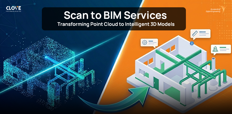
Scan to BIM Services – Transforming Point Cloud to Intelligent 3D Models
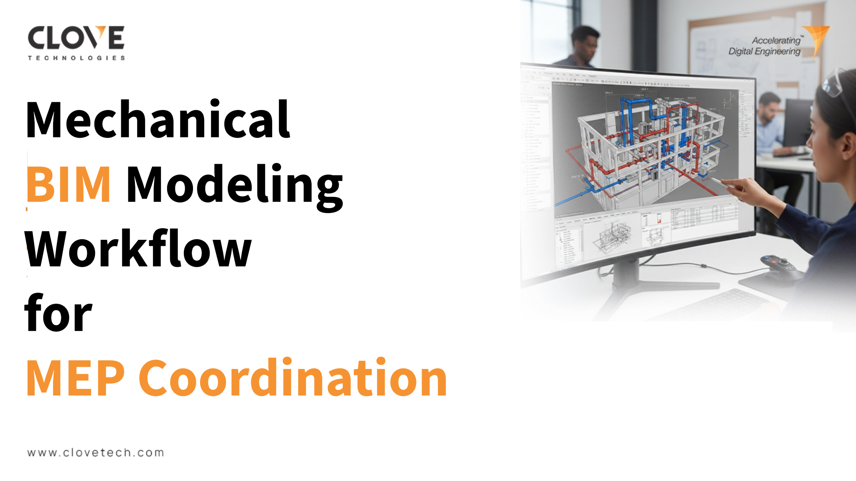
Mechanical BIM Modeling Workflow for MEP Coordination
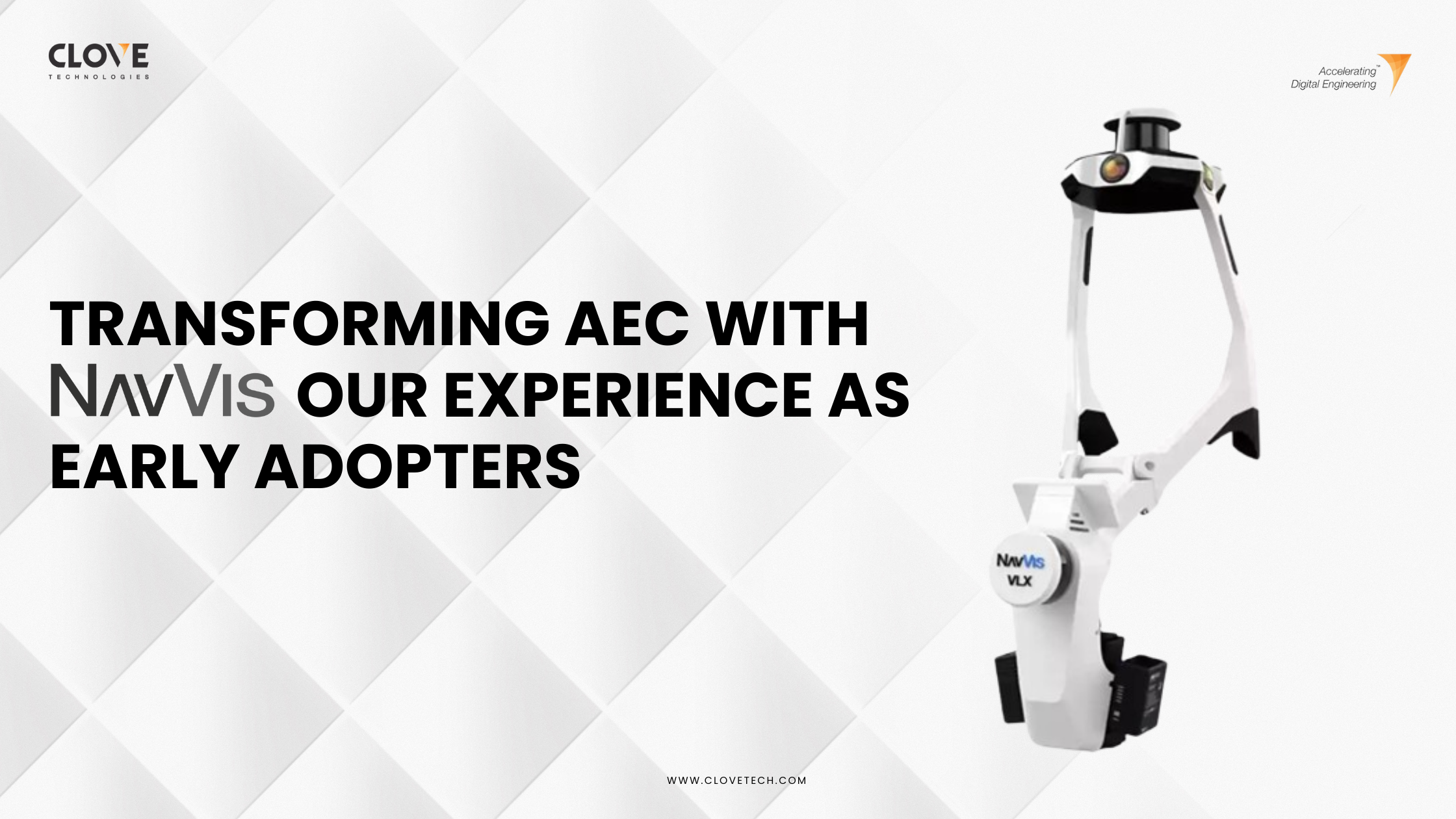
Transforming AEC with NavVis: Clovetech Experience as Early Adopters

Revit vs AutoCAD: Understanding the Difference in AEC Workflows
Let's Talk
Let’s discuss your requirements and see how our expertise can help on your next project.