Laser Scanning for Construction
Improve Construction Accuracy with Advanced Laser Scanning for Construction

Capture Accurate Site Conditions. Build with Confidence.
Construction projects require accurate site measurements to reduce errors, verify progress, and maintain alignment between design and actual site conditions. Traditional measurement methods can be time-consuming and may not capture the complete complexity of an active construction site. Our services support contractors, engineers, architects, and project managers with construction verification, BIM integration, progress tracking, and as-built documentation. And we provides 3D laser scanning for construction projects, capturing detailed spatial data and converting it into reliable point clouds. We follow rigorous field-to-finish protocols that guarantee the information provided to our clients is reliable, precise, and formatted for direct integration with construction management platforms.
Construction Progress Monitoring
Capture construction milestones and compare site conditions with design models to verify progress and identify discrepancies.
learn moreAs-Built Laser Scanning
Document actual building geometry and existing site conditions through accurate 3D point cloud data.
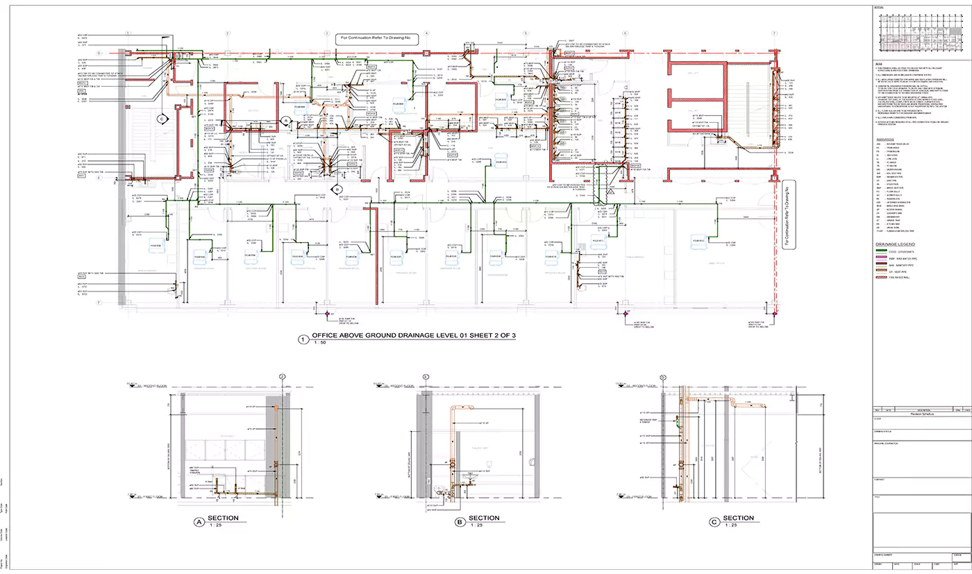
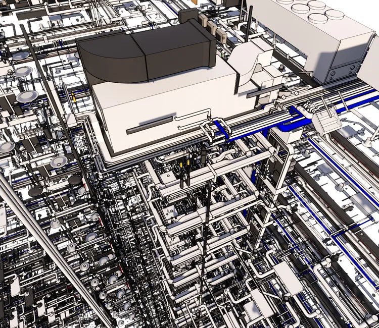
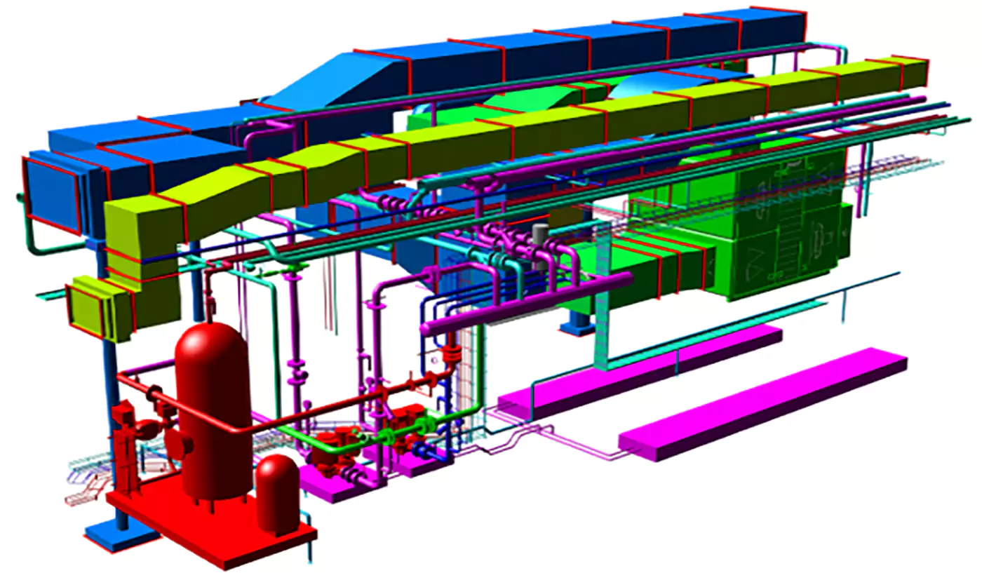
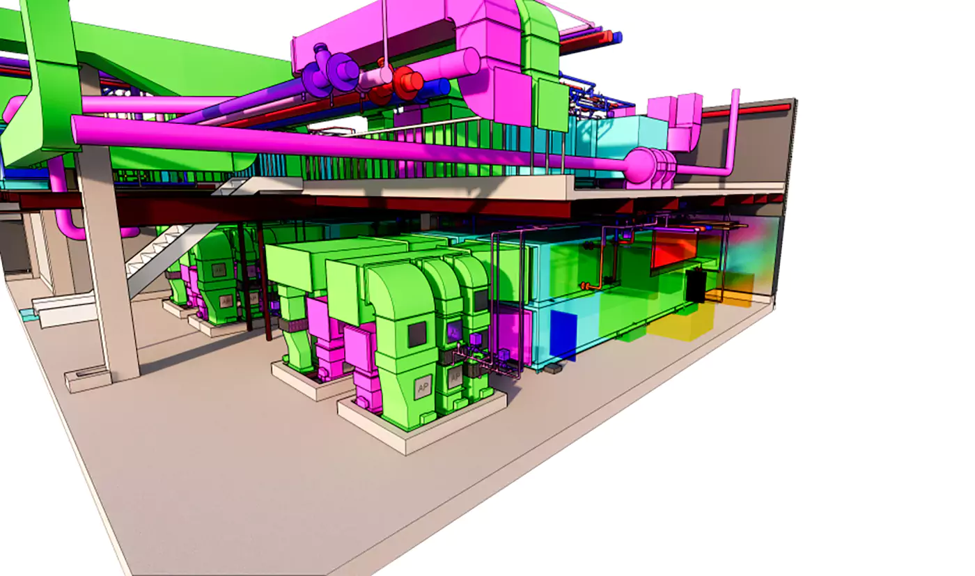
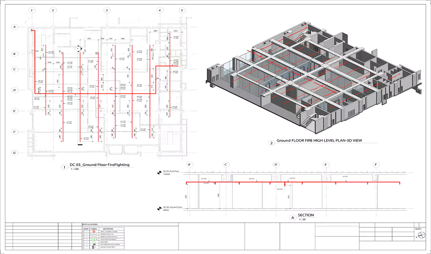
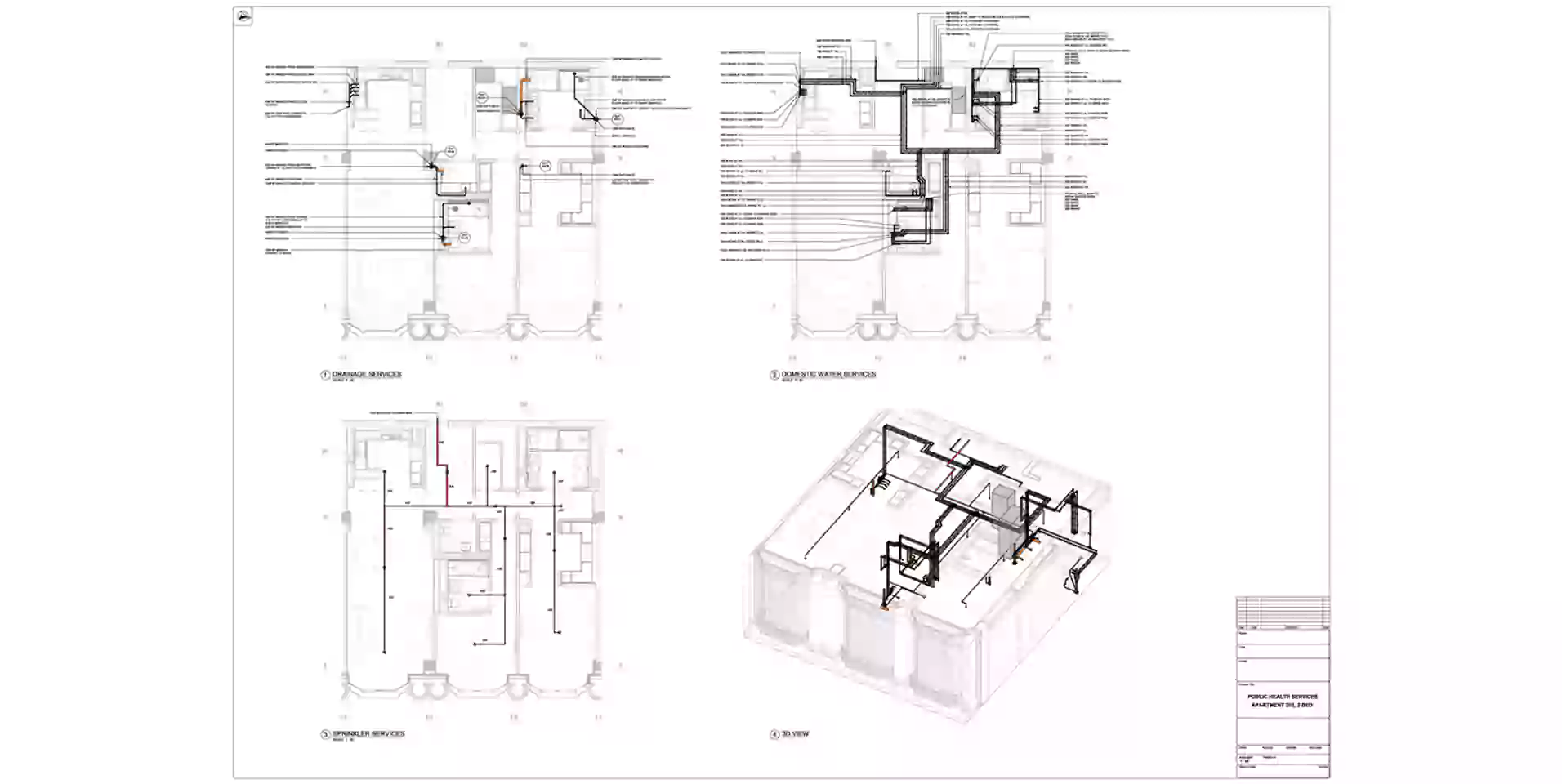
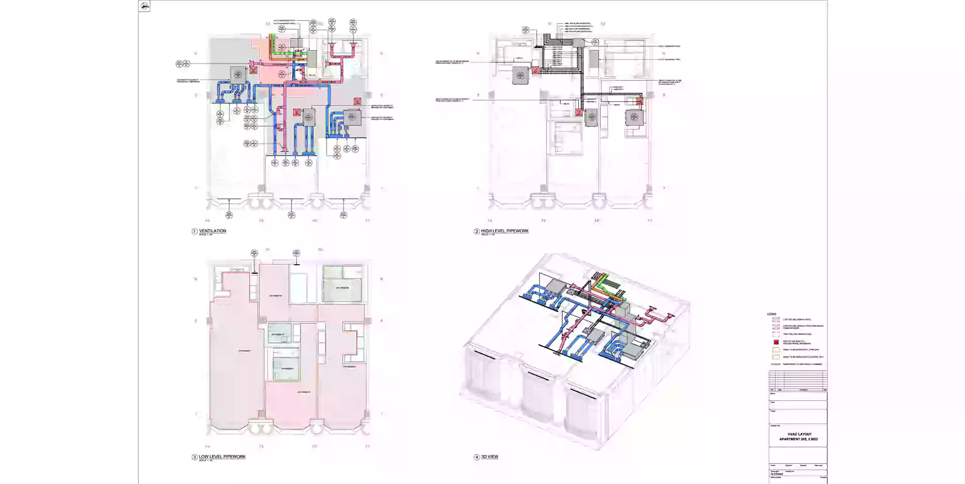
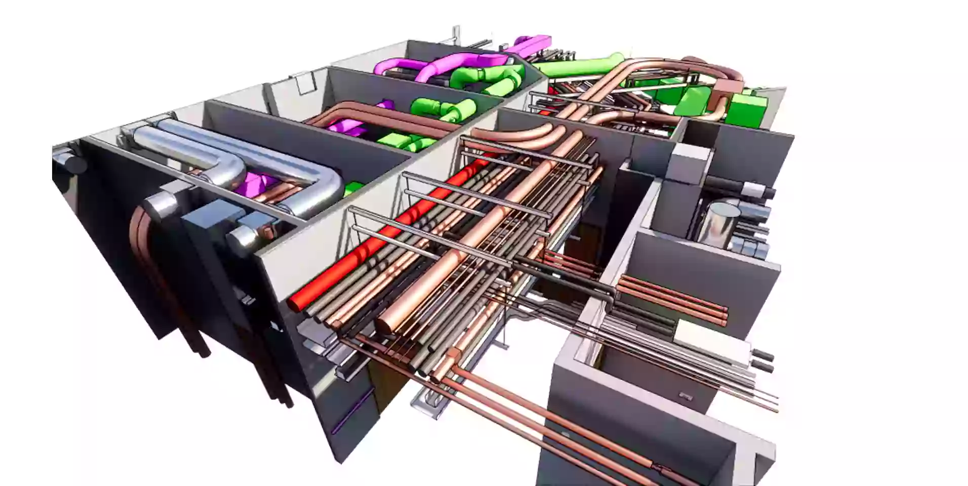
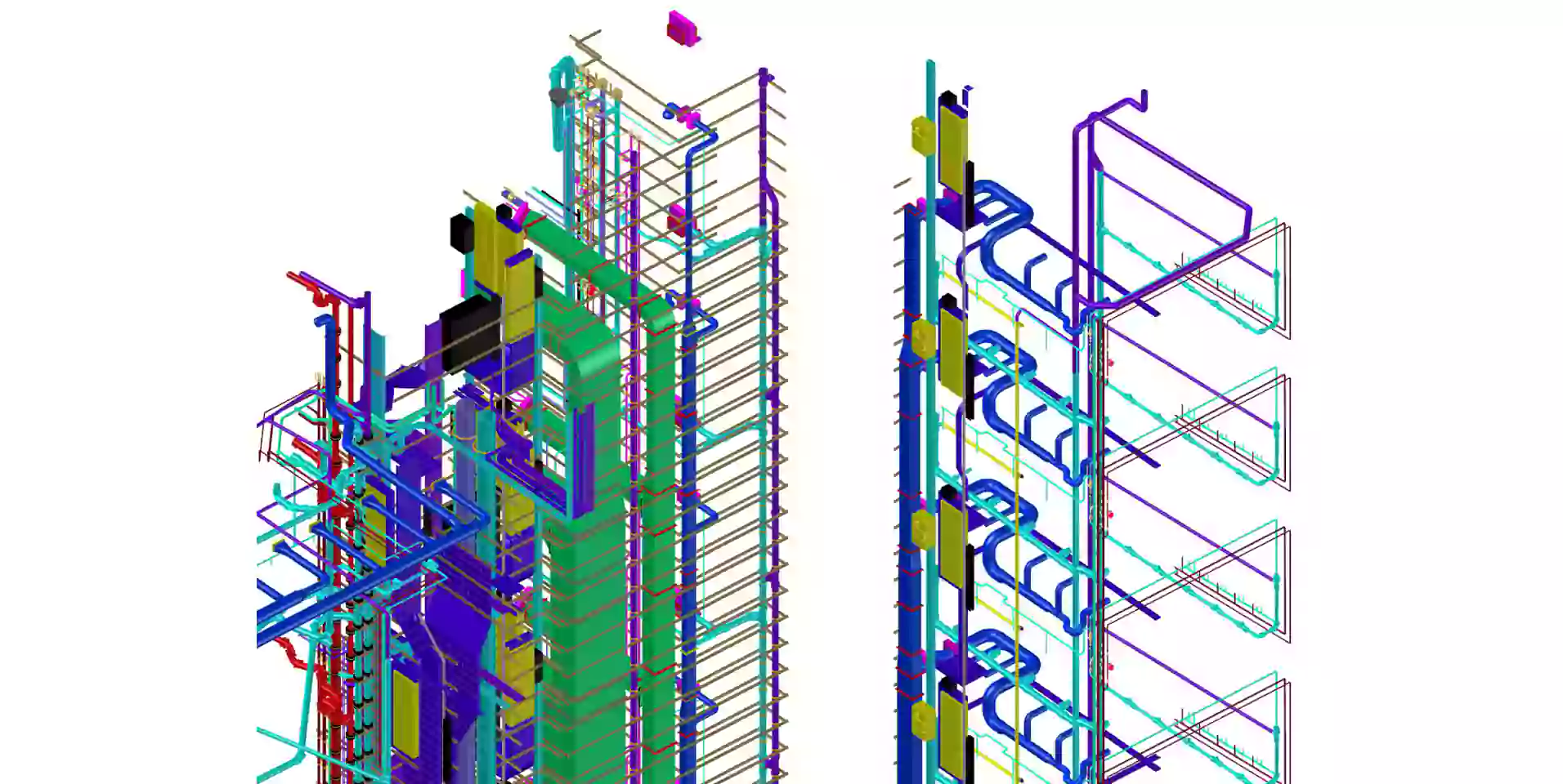
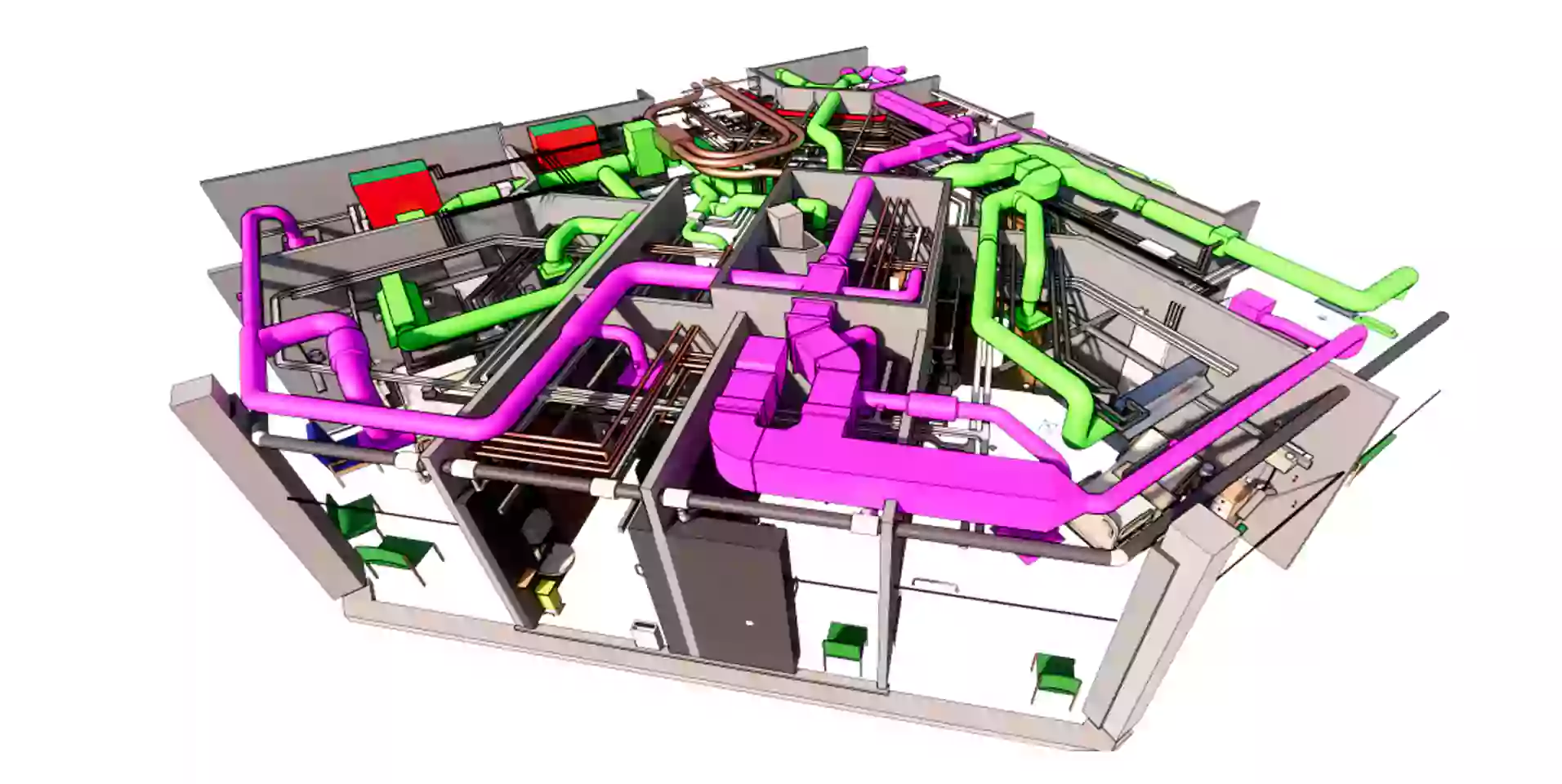
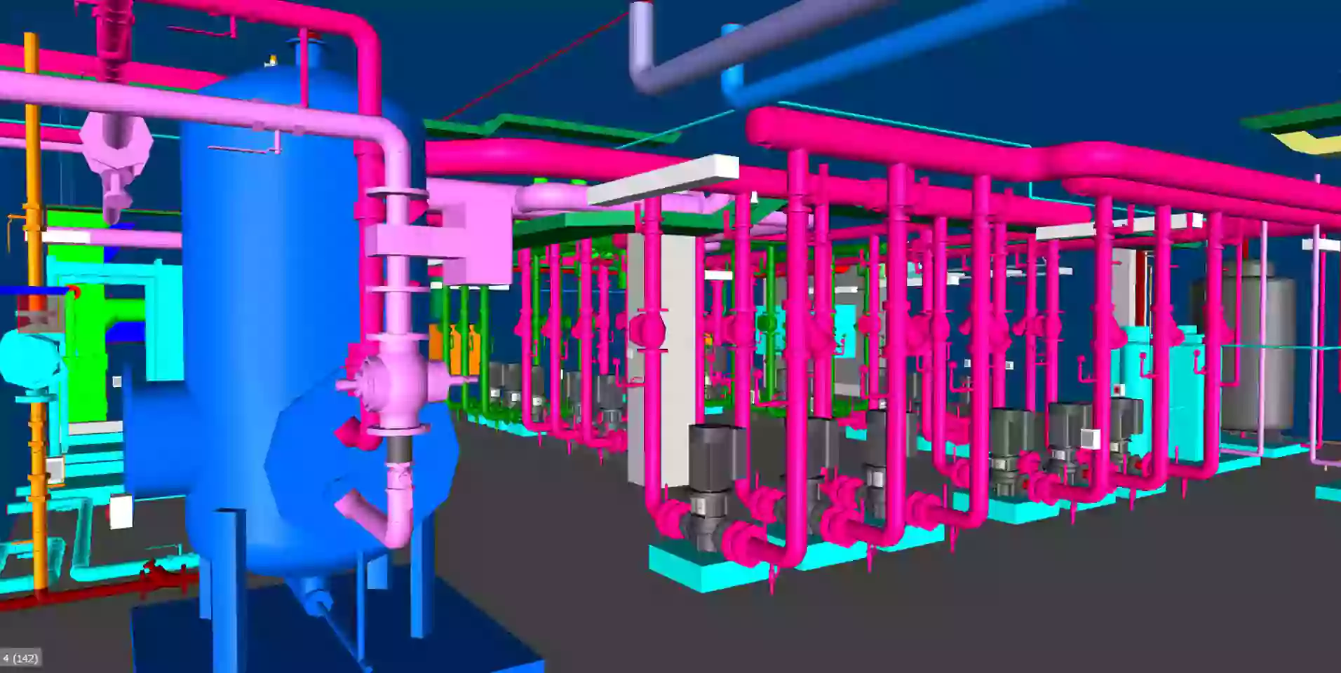
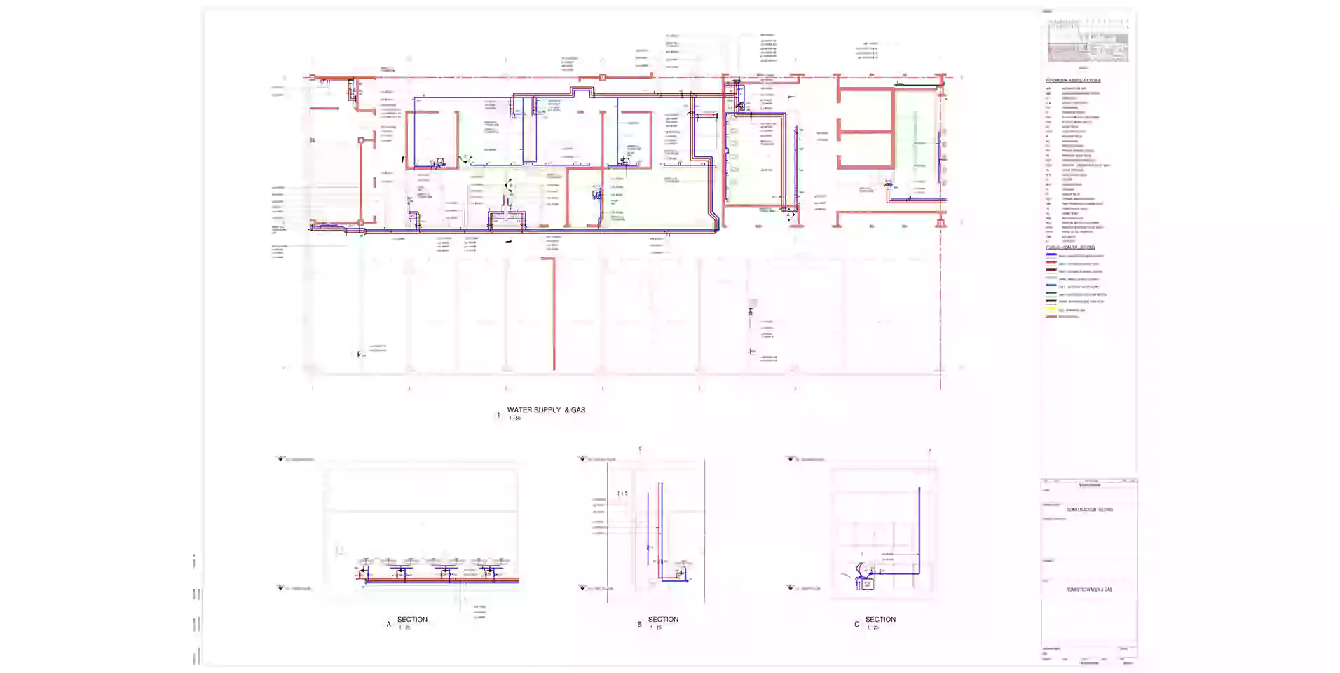
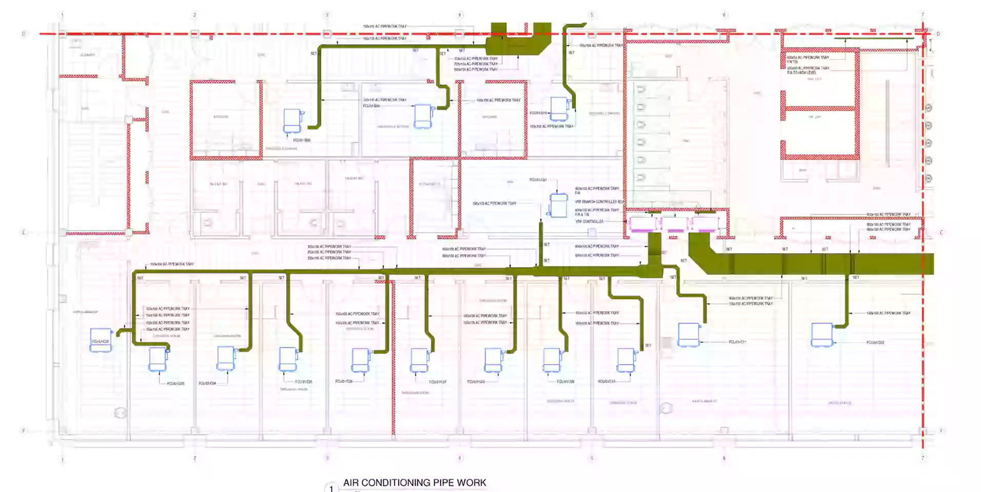
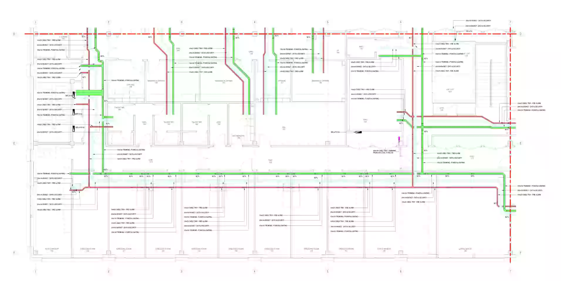
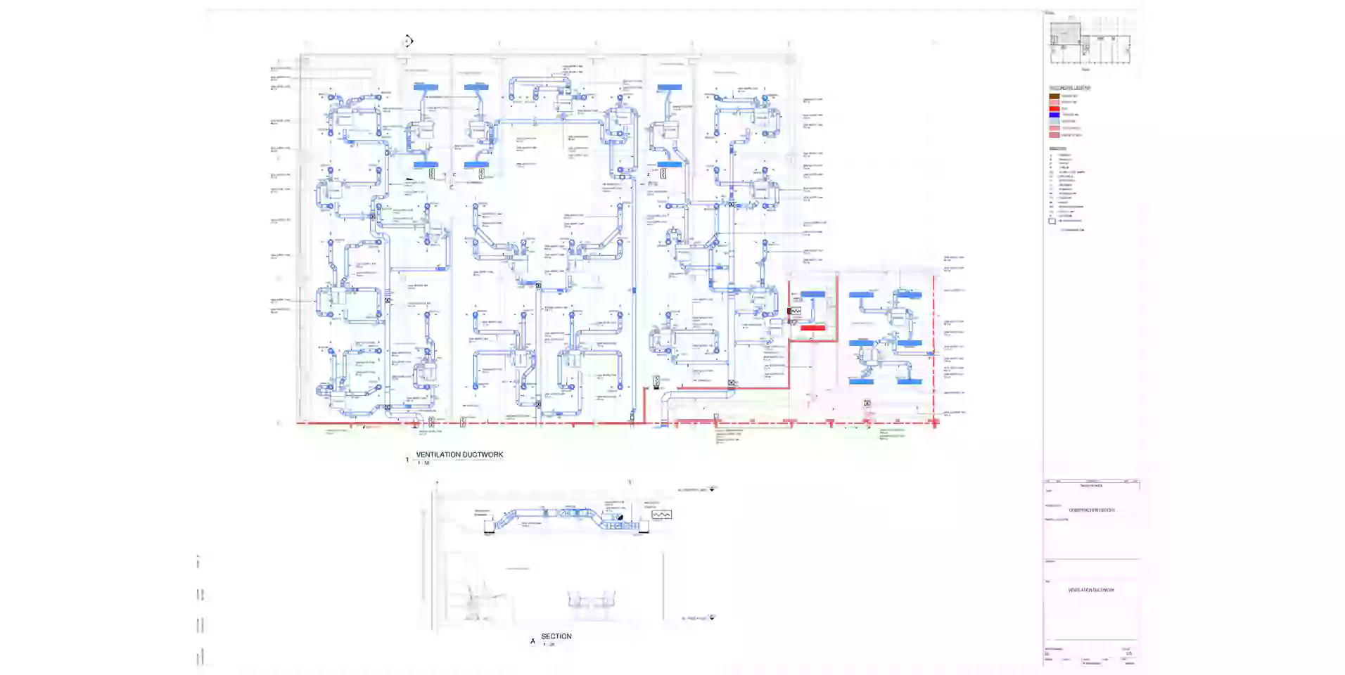
learn moreLaser Scanning for MEP Coordination
Capture mechanical, electrical, and plumbing installations to verify positioning and support coordinated construction.
learn moreDeviation Analysis & Structural Verification
Compare scanned conditions with approved designs to identify dimensional deviations and verify structural alignment.
learn moreStructural Verification & As-Built Documentation
Document actual building geometry and existing site conditions through accurate 3D point cloud data.
learn moreVolume & Quantity Analysis
Use 3D scan data to calculate material volumes, assess earthwork quantities, and support construction planning.
learn moreSite Logistics & Planning Support
Generate accurate site information to support equipment placement, access planning, and construction sequencing.
learn moreOUR OFFERINGS
FAQ
Laser scanning captures detailed site measurements that can be compared with design models to identify dimensional discrepancies and support quality control.
Laser scanning offers millimeter-level accuracy, which makes it ideal for applications where precision is critical. The accuracy can vary based on the scanner used, site conditions, and scanning parameters, but it typically meets or exceeds industry standards for construction verification.
We provide clients with processed point cloud data, 3D models, and analysis reports in standard industry formats compatible with most construction management and design software platforms.
Yes. Registered point clouds can be used with BIM software such as Autodesk Revit and Navisworks for modeling, verification, and coordination.
Project duration depends on site size, scanning accessibility, required data density, processing complexity, and the scope of documentation.
Let's Talk
Let’s discuss your requirements and see how our expertise can help on your next project.