Month: May 2026

How ICCC Technology Is Revolutionizing Governance in Amaravati
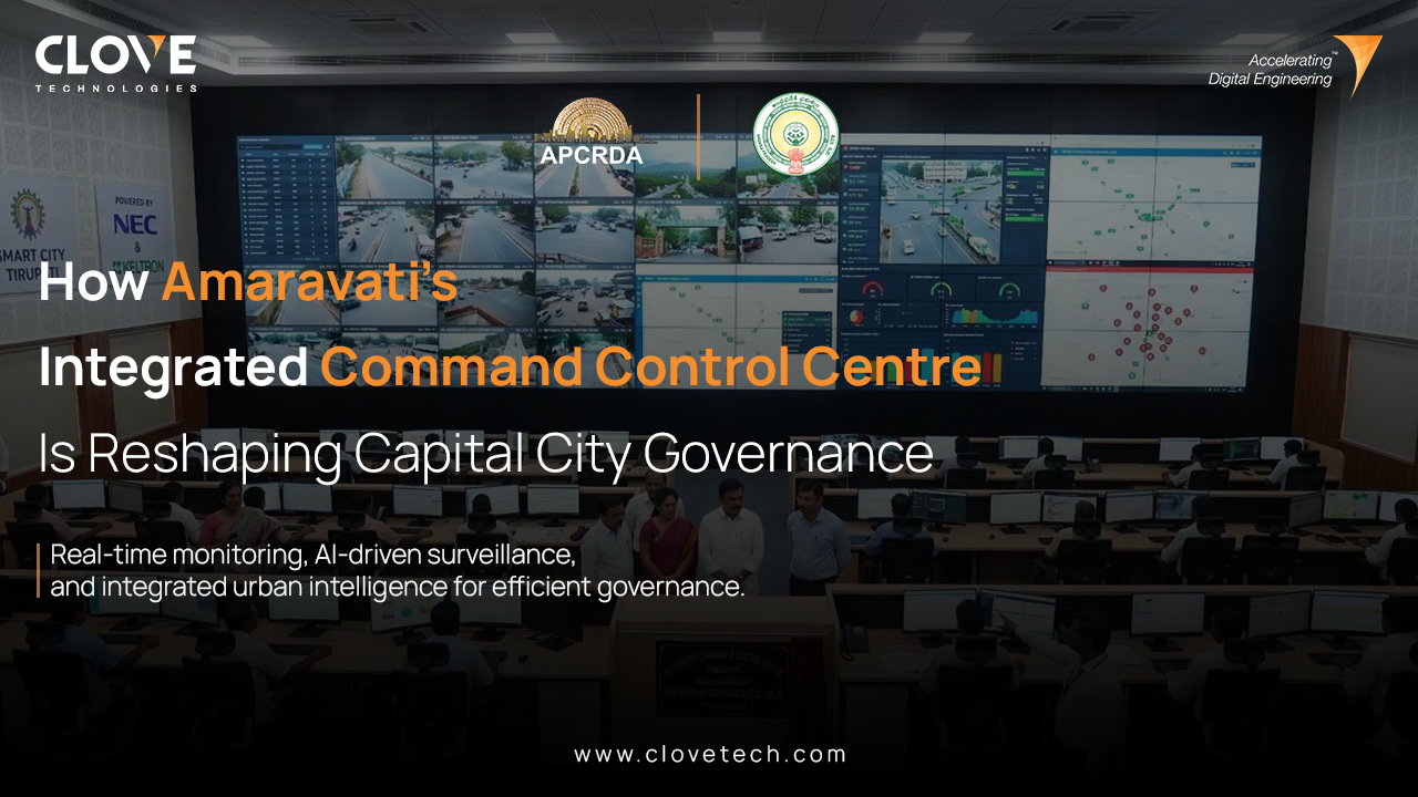
Governing a greenfield capital city demands more than political ambition and engineering capacity. It demands a system intelligent enough to hold hundreds of moving parts accountable simultaneously, in real time, and without human intervention at every step.
2026 6 min read Amaravati, Andhra Pradesh
GIS to BIM Data Integration Workflow for Utility Asset Management
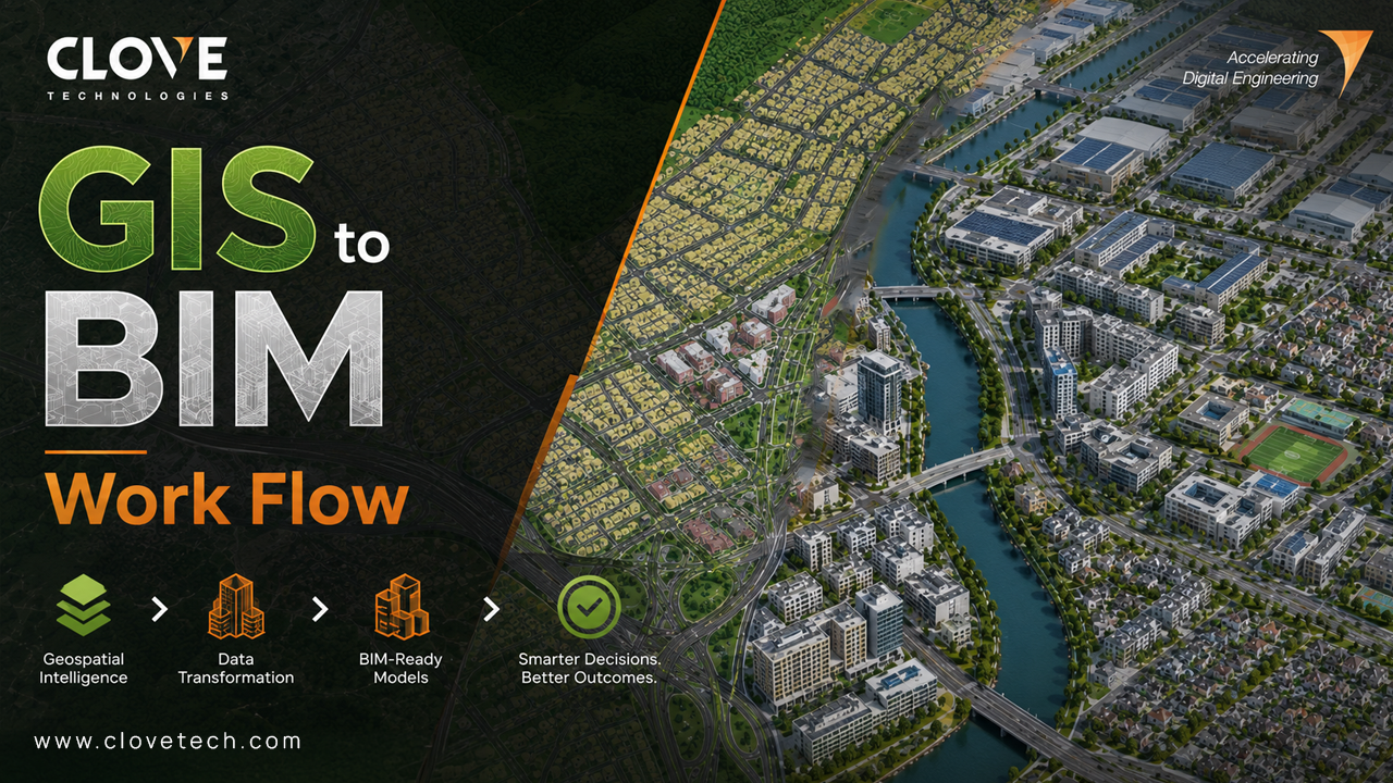
Utility infrastructure projects generate massive amounts of geospatial and engineering data throughout planning, design, construction, and operations. However, many organizations still manage GIS and BIM environments separately, creating disconnected workflows and fragmented asset intelligence.
A well-structured GIS to BIM integration workflow helps utility owners, EPC firms, and infrastructure consultants connect geospatial intelligence with engineering coordination in a unified digital environment.
GIS platforms typically manage :
• Utility networks
• Terrain information
• Operational assets
• Geospatial relationships
BIM environments manage :
• Engineering geometry
• Multidisciplinary coordination
• Constructability
• Fabrication-level modeling
BIM Integration ensures that spatial data, engineering intelligence, and operational asset information remain synchronized across the infrastructure lifecycle.