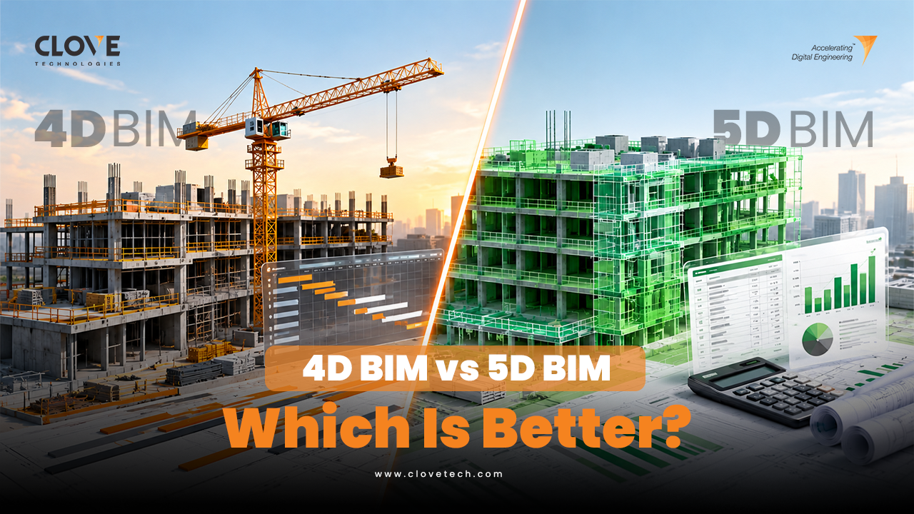
4D BIM vs 5D BIM: Which Should Your Construction Project Prioritize?

Construction projects often face scheduling delays, design clashes, and cost overruns. 4D BIM improves construction sequencing and progress tracking, while 5D BIM supports quantity takeoffs and cost management.

This guide 4D BIM VS 5D BIM explores their key differences, challenges, and benefits, and how Clove Technologies’ Digital Built services support efficient project planning and BIM documentation.
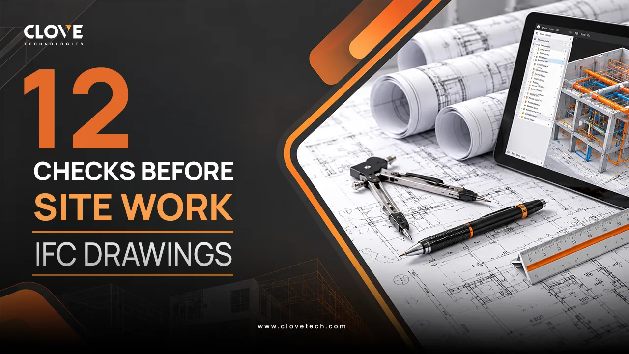
IFC Drawings in Construction: 12 Checks Before Releasing Drawings for Site Work

IFC drawings help construction teams turn a design into a real building. They guide engineers, contractors, and site workers during construction. However, missing dimensions, outdated drawings, and poor coordination can lead to delays, rework, and extra costs.

Many construction problems begin before work starts on site. A pipe may clash with a beam. An updated wall layout may not reach every team. A contractor may use an old drawing by mistake.

The solution is not just to prepare IFC drawings. It is to check, coordinate, and control them before construction begins.

In this guide, we explain 12 important checks, common challenges, and how Clove Technologies can support better BIM coordination and collaborative engineering workflows.

Pipe Spool Drawings vs Piping Isometrics: Key Differences

Pipe spool drawings and piping isometrics are essential engineering documents used in industrial piping design, fabrication planning, and installation. Although both represent piping arrangements, they differ in purpose, drawing scope, and the level of information provided.

A piping isometric drawing represents the routing, dimensions, and components of a piping line, while a pipe spool drawing provides detailed fabrication information for an individual piping assembly. Understanding these differences helps engineers, EPC contractors, and fabrication teams interpret drawing requirements, maintain dimensional accuracy, and coordinate piping projects effectively.

Point Cloud to BIM: A Guide for Surveyors, Engineers & Contractors

Accurate information about existing site conditions is essential for successful engineering and construction projects. However, outdated drawings, incomplete measurements, and undocumented site changes often create difficulties for surveyors, engineers, and contractors. These gaps can lead to design conflicts, construction delays, and unnecessary rework.

Point Cloud to BIM for surveyors, engineers, and contractors closes that gap. It combines 3D reality capture with Building Information Modeling (BIM) so your team can work from structured digital models of existing buildings and infrastructure. In this guide, you’ll learn what point clouds and BIM are, how the conversion works, and how each discipline benefits.

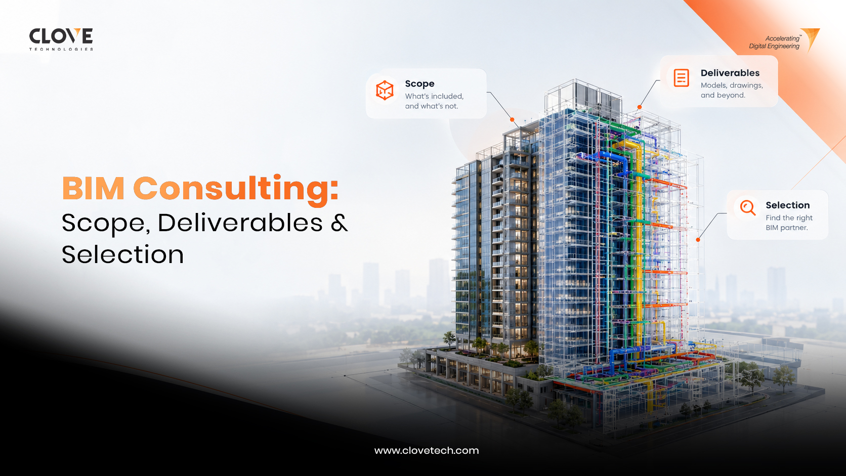
BIM Consulting: Scope, Deliverables & Selection Criteria

BIM consulting is no longer restricted to giving advice on setting up 3D models. For architectural, engineering, construction, infrastructure, and facility management organizations, it may even help shape the way in which project information is planned, created, coordinated, shared, and managed.

BIM consulting services can assist an organization in developing BIM standards, establishing a workflow, creating a BIM Execution Plan, and enhancing the aspect of the coordination and the usage of related technology.

But what exactly should BIM consulting include? What should a consultant deliver? And how do you choose the right BIM consultant?

This article covers the critical areas that you should evaluate when looking for a consultant.

BIM-GIS Integration: Connecting Building & Geospatial Data

Building information modeling and geographic information systems differ in the sort of information they offer for the project. The former tackles the description of an asset’s contents and internal organization, while the latter answers the questions of where a specific asset is located and how it is related to its environment. The combined application of BIM and GIS enables AEC and infrastructure teams to associate relevant information about a structure, engineering systems, utilities, topography, transportation networks, and land use. This is the basis for the BIM-GIS integration and GeoBIM  a connected environment at the level of data and processes that supports planning, designing, building, infrastructural asset management, and digital twin implementations.

Digital Engineering: A Practical Guide to the Digital Thread